Date: August 6, 2010
Start: 2507 m (Hochtor)
Finish: 1304 m (Heiligenblut)
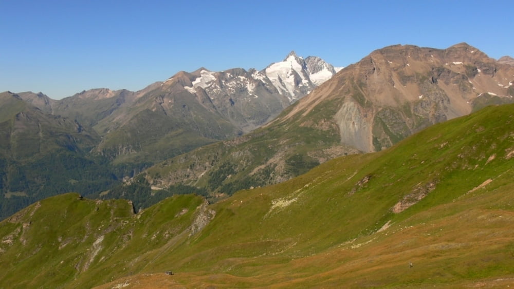
Highest point: 2625 m (Tauernkopf), 2610 m (Schareck)
Lowest point: 1304 m
Total ascent: 223 m
Total descent: 1423 m
Information about the Grossglockner Hochalpenstrasse:
http://www.grossglockner.at/
Verdere informatie onder
http://www.beepee.hu/v/ausztria2010/heiligenblut/hochtor/Fotogalerie van de tocht
Kaart en hoogteprofiel van de tocht
Commentaren

Places where you can eat and drink:
Hochtor
Schareck cable car mountain station (when the cable car is in operation: Sunday-Thursday)
Kasereck
Route:
1. park you car in Heiligenblut, take the bus to Hochtor, it leaves at 9:00 AM)
2. at Hochtor, cross the street (careful!!) then walk up, follow the signs towards Tauernkopf/Schareck
3. walk on the Geo Trail to Schareck
4. at the Schareck cable car mountain station, find the signs that point towards Heiligenblut, start walking down
5. follow signs towards Heiligenblut/Kasereck
6. when you reach the paved road (Hochalpenstrasse), you will find Kasereck Restaurant
7. follow signs towards Heiligenblut
GPS-tracks
Trackpoints-
GPX / Garmin Map Source (gpx) download
-
TCX / Garmin Training Center® (tcx) download
-
CRS / Garmin Training Center® (crs) download
-
Google Earth (kml) download
-
G7ToWin (g7t) download
-
TTQV (trk) download
-
Overlay (ovl) download
-
Fugawi (txt) download
-
Kompass (DAV) Track (tk) download
-
Pagina van de tocht (pdf) download
-
Origineel dossier van de auteur (gpx) download


