Inloggen

Login vergeten?

Cookies moeten worden aanvaard!
De cookiefunctie van uw browser is gedeactiveerd. Activeer de functie.

Ben je nog geen lid?

Registreer nu
Inloggen

Alleen mogelijk voor ingelogde gebruikers

Log in om deze functie te kunnen gebruiken.

Login vergeten?

Cookies moeten worden aanvaard!
De cookiefunctie van uw browser is gedeactiveerd. Activeer de functie.

Ben je nog geen lid?

Registreer nu
Filter
Categorieën
Geavanceerde filters
  • Lengte (km)
  • Hoogtemeter
Filter opslaan Filter resetten

TrackRank

QRCode

Technische gegevens

Lengte33,7 km Hoogtemeter558 m Afdaling549 m Duur00:00 h:m Datum20.09.2010
Beoordelingen Auteur Landschap Funfactor Conditie Techniek

Statistiek

301 Views Beoordelingen 20 Downloads Gemiddelde
Tarief
  • Pagina van de tocht
  • Route
  • Downloads

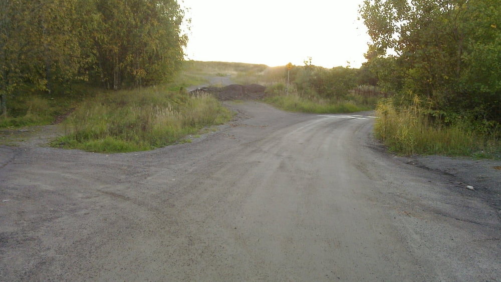
Well I was searching for the hills and biking trails. I had been there about ten years ago but I found it still. There is lots of possibilities in the Luolavuori area and there are good trails for MTB, Enduro, XC and general bike trips. In Kupittaa area there is a biking track that has some proper boxes etc.

Fotogalerie van de tocht

Kaart en hoogteprofiel van de tocht

  • Open Street Map
  • Google
Minimumhoogte -47 m Maximale hoogte 48 m Detailweergave

Meer over de tour auteur

miqu
Lid sinds 2010

Stuur een privébericht

Commentaren

Well get to Turku Kaupungin Sairaala (Turku City hospital) and take Luolavuorentie from there until you see a sand road going up the hill to the right. From the top of the hill there is at least ten trails down. Some with jumps and some with hard terrain some with just a path in the field.


There is some good trails in MTB turku site:

http://www.mtbturku.net/kisat.php?subsection=XC10

Scroll down and see gps or google links. Sorry its in Finnish.

GPS-tracks

Trackpoints
  • GPX / Garmin Map Source (gpx) download
  • TCX / Garmin Training Center® (tcx) download
  • CRS / Garmin Training Center® (crs) download
  • Google Earth (kml) download
  • G7ToWin (g7t) download
  • TTQV (trk) download
  • Overlay (ovl) download
  • Fugawi (txt) download
  • Kompass (DAV) Track (tk) download
  • Pagina van de tocht (pdf) download
  • Origineel dossier van de auteur (gpx) download

Meer over de tour auteur

miqu
Lid sinds 2010

Stuur een privébericht
Share track
Toevoegen aan mijn favorieten
Uit mijn favorieten verwijderen
Tags bewerken
Mijn waardering
Tarief
Tocht: Mixed biking in Turku
Type: Mountainbike
Lengte: 33,7 km
Evaluated on:
Duur:
Dagen
Uurtjes
Minuten
Beoordeling: Landschap Funfactor Conditie Techniek