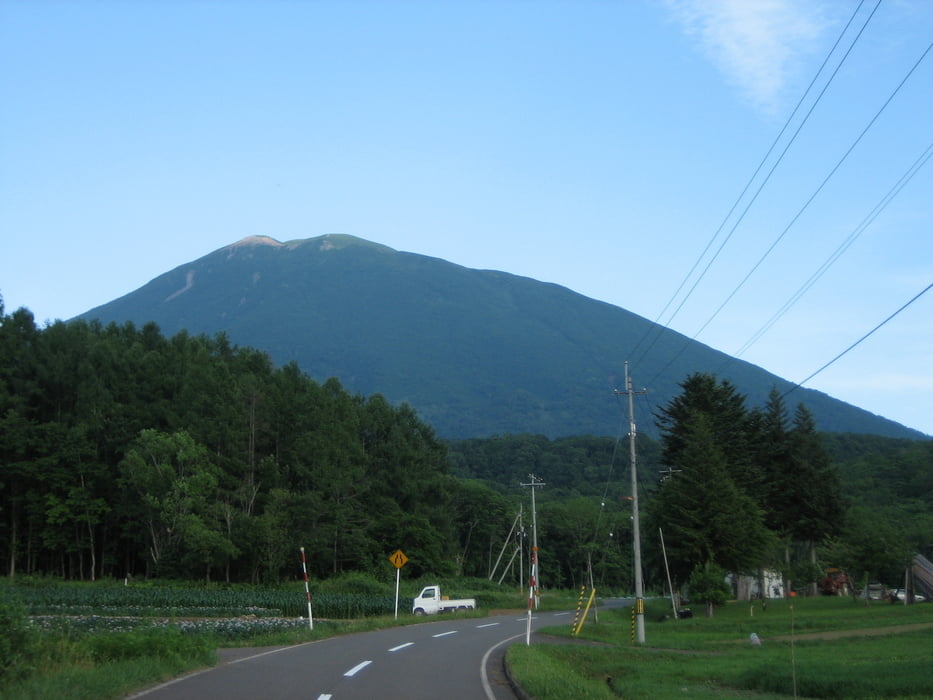
A long day tour to ascent one of the most beautiful volcanic mountains in Hokkaido.
When you need more information just ask me and I will try to update here.
I also have other tracks in Hokkaido which I can prepare and upload in case there is any interest.
Licenced as cc-by-sa: creativecommons.org/licenses/by-sa/3.0/
Kaart en hoogteprofiel van de tocht
Minimumhoogte 167 m
Maximale hoogte 1895 m
Commentaren

Without a car, my suggestion is to stay overnight in Kutchan and catch the first bus to the mountain entrace at Kyougoku
GPS-tracks
Trackpoints-
GPX / Garmin Map Source (gpx) download
-
TCX / Garmin Training Center® (tcx) download
-
CRS / Garmin Training Center® (crs) download
-
Google Earth (kml) download
-
G7ToWin (g7t) download
-
TTQV (trk) download
-
Overlay (ovl) download
-
Fugawi (txt) download
-
Kompass (DAV) Track (tk) download
-
Pagina van de tocht (pdf) download
-
Origineel dossier van de auteur (gpx) download
Toevoegen aan mijn favorieten
Uit mijn favorieten verwijderen
Tags bewerken
Open track
Mijn waardering
Tarief


