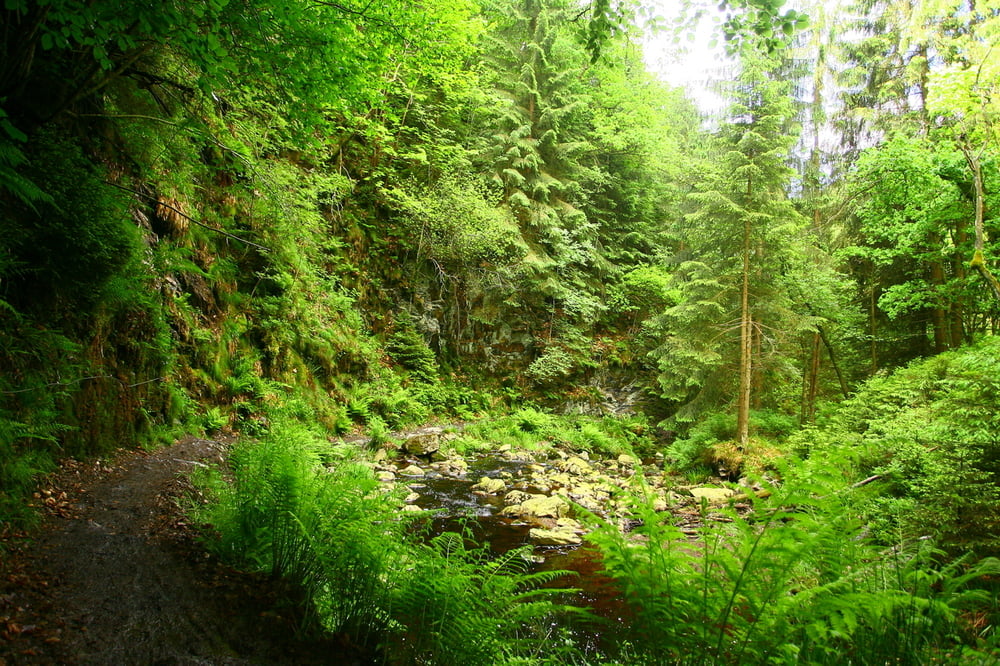
Really nice rides in the Belgian Ardennes.
The first and last part are quite easy, the middle part is completely through the forest and has some steep and technical climbs and descents, with slippery roots and rocks.
After periods of rain some parts of the track can get quite muddy.
Verdere informatie onder
http://www.les-cimes-de-waimes.be/de.htmKaart en hoogteprofiel van de tocht
Minimumhoogte 374 m
Maximale hoogte 681 m
Commentaren

GPS-tracks
Trackpoints-
GPX / Garmin Map Source (gpx) download
-
TCX / Garmin Training Center® (tcx) download
-
CRS / Garmin Training Center® (crs) download
-
Google Earth (kml) download
-
G7ToWin (g7t) download
-
TTQV (trk) download
-
Overlay (ovl) download
-
Fugawi (txt) download
-
Kompass (DAV) Track (tk) download
-
Pagina van de tocht (pdf) download
-
Origineel dossier van de auteur (tcx) download
Toevoegen aan mijn favorieten
Uit mijn favorieten verwijderen
Tags bewerken
Open track
Mijn waardering
Tarief


