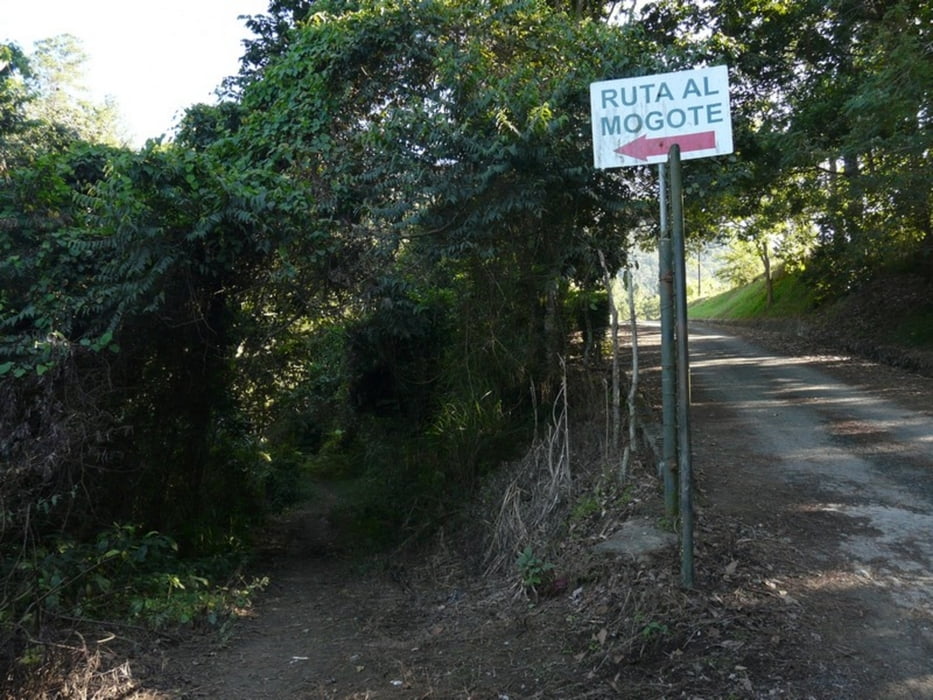
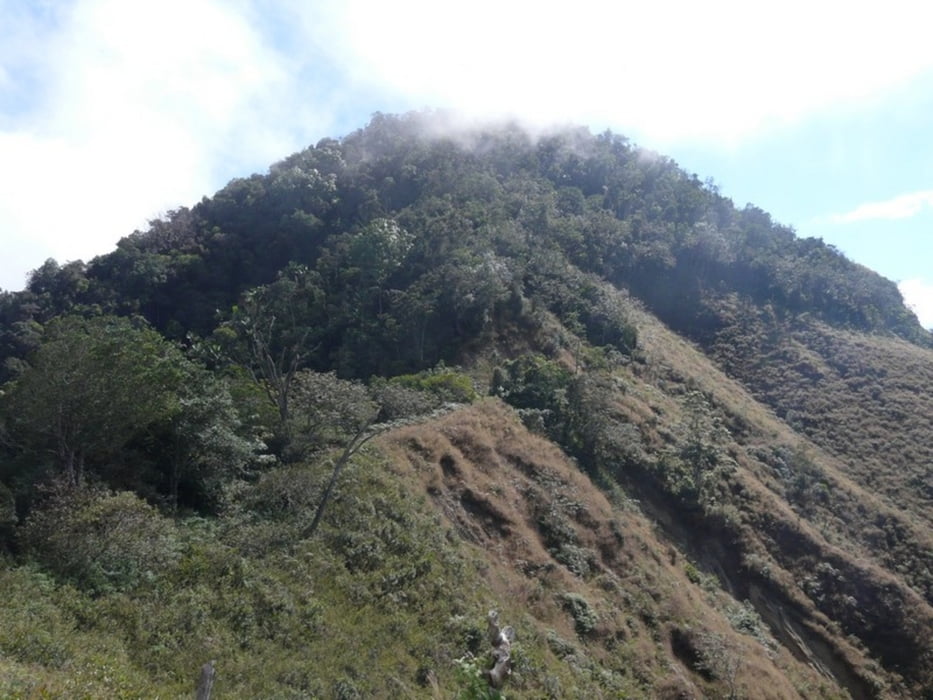
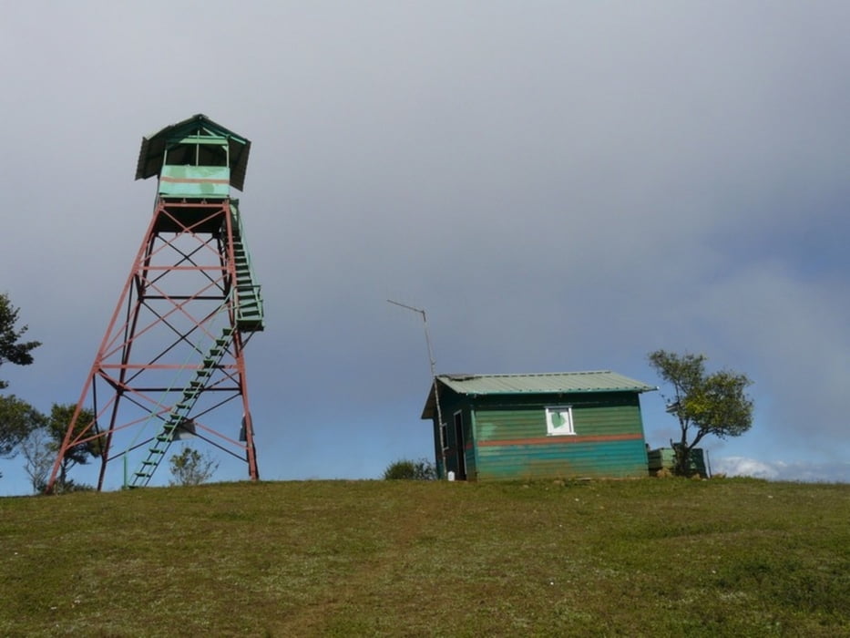
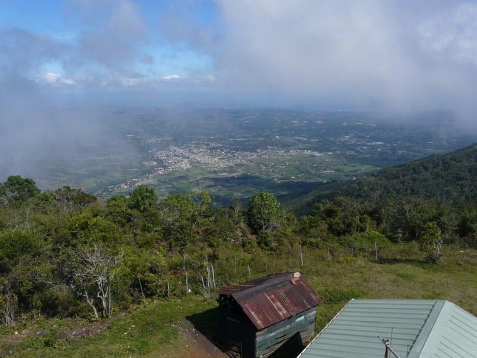
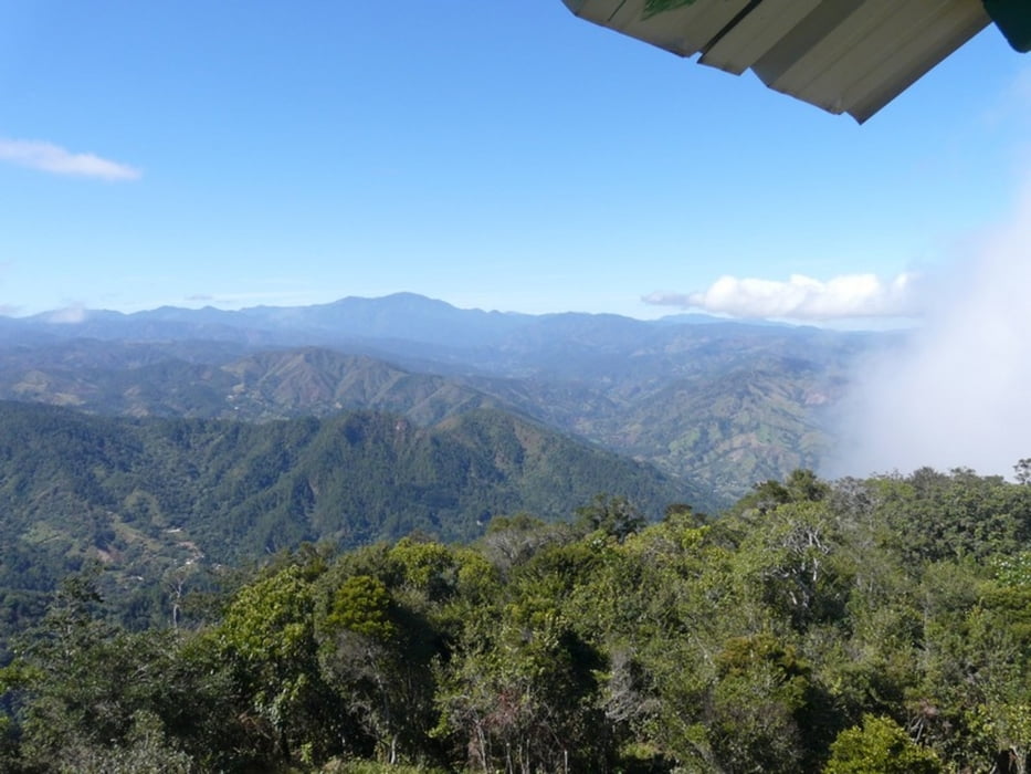
Fascinating and interesting round trip, after rainfall the ascent is very slippery and difficult. There is a guy living on the summit who monitors bush fires. On the way back you'll pass some coffee plantations.
Fotogalerie van de tocht
Kaart en hoogteprofiel van de tocht
Minimumhoogte 666 m
Maximale hoogte 1528 m
Commentaren

Take a motoconcho (motor cycle taxi) to get to the start and walk back to Jaracaboa (6km) for insights in typical dominican life.
GPS-tracks
Trackpoints-
GPX / Garmin Map Source (gpx) download
-
TCX / Garmin Training Center® (tcx) download
-
CRS / Garmin Training Center® (crs) download
-
Google Earth (kml) download
-
G7ToWin (g7t) download
-
TTQV (trk) download
-
Overlay (ovl) download
-
Fugawi (txt) download
-
Kompass (DAV) Track (tk) download
-
Pagina van de tocht (pdf) download
-
Origineel dossier van de auteur (gpx) download
Toevoegen aan mijn favorieten
Uit mijn favorieten verwijderen
Tags bewerken
Open track
Mijn waardering
Tarief

