

This was a hired tour through a company. We started with the Van from Glasgow to Bridge of Orchy, where the tour really begins.
Since we drove in average +75Km per day, you need a good condition. There are many ups and downs because of the hills and mountains and not everywhere streets and highways are in good condition.
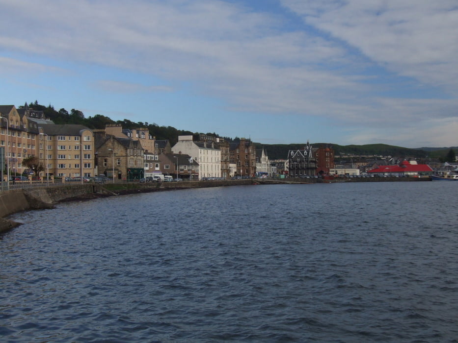
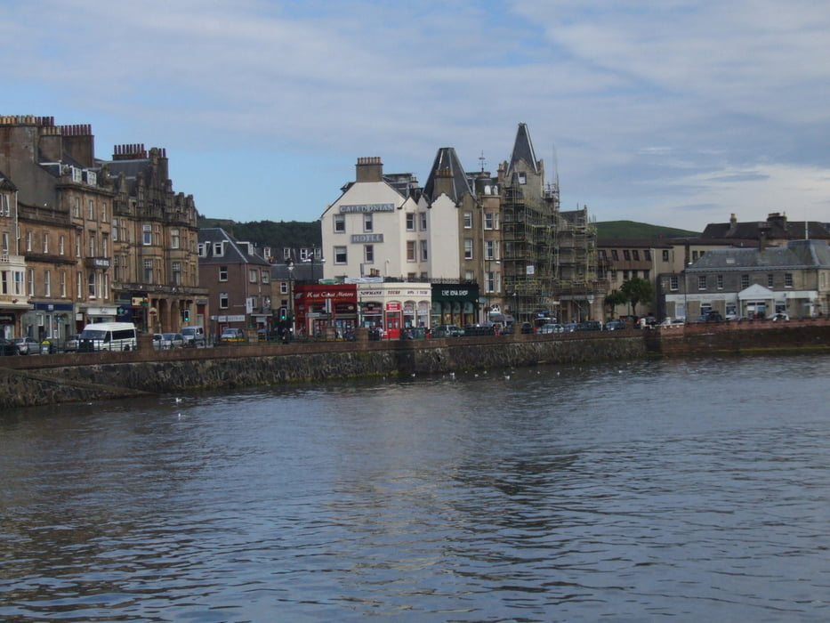
This first step of the tour ends in the town of Oban, which is a small town with pier and a couple of restaurants, pubs and night shows.
Fotogalerie van de tocht
Kaart en hoogteprofiel van de tocht
Minimumhoogte 72 m
Maximale hoogte 220 m
Meer over de tour auteur

|
alonso100 |
Commentaren

Visit the complementary tours in Scotland:
Nr. 2 --> /de/touren/detail.85098.html
Nr. 3 --> /de/touren/detail.85099.html
Nr. 4 --> /de/touren/detail.85100.html
Nr. 5 --> /de/touren/detail.85101.html
GPS-tracks
Trackpoints-
GPX / Garmin Map Source (gpx) download
-
TCX / Garmin Training Center® (tcx) download
-
CRS / Garmin Training Center® (crs) download
-
Google Earth (kml) download
-
G7ToWin (g7t) download
-
TTQV (trk) download
-
Overlay (ovl) download
-
Fugawi (txt) download
-
Kompass (DAV) Track (tk) download
-
Pagina van de tocht (pdf) download
-
Origineel dossier van de auteur (gpx) download
Meer over de tour auteur
|
|
alonso100 |
Toevoegen aan mijn favorieten
Uit mijn favorieten verwijderen
Tags bewerken
Open track
Mijn waardering
Tarief