

This was a hired tour through a company. We started from Kilbegin the Isle of Skye and moved northeast to Ratagan.
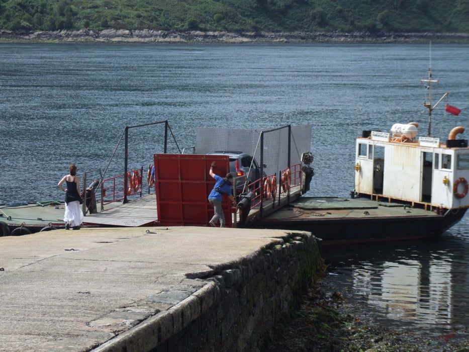
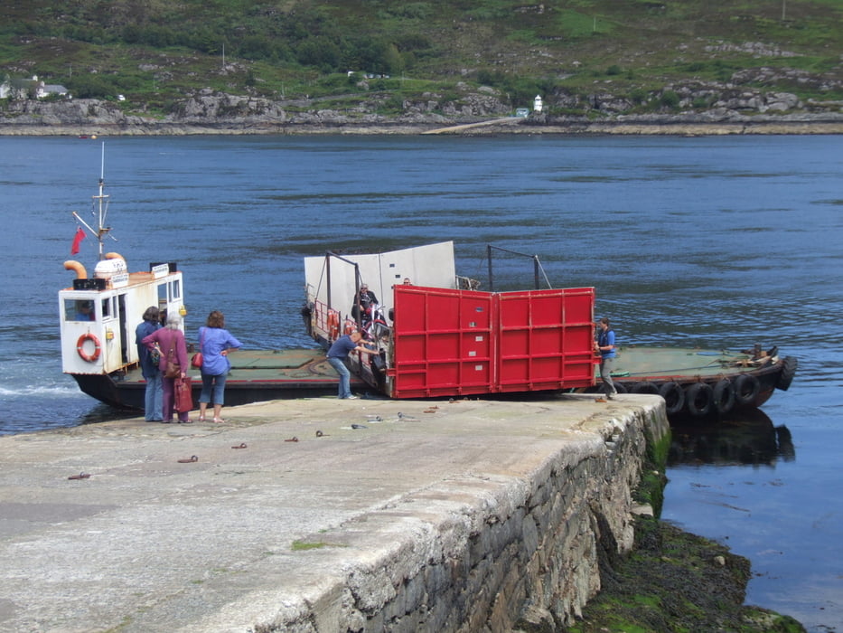
You have to cross the sound of Sleat. There´s a small ferry capable of transporting up to 12 persons (not because it is small but because of the number of life jackets - EU rules) and it sails several times a day.
Since we drove in average +75Km per day, you need a good condition. There are many ups and downs because of the hills and mountains and not everywhere streets and highways are in good condition.
This fourth step of the tour ends in the town of Ratagan, directly at Loch Duich.
Fotogalerie van de tocht
Kaart en hoogteprofiel van de tocht
Minimumhoogte 58 m
Maximale hoogte 378 m
Meer over de tour auteur

|
alonso100 |
Commentaren

Visit the complementary tours in Scotland:
Nr. 1 --> /de/touren/detail.85096.html
Nr. 2 --> /de/touren/detail.85098.html
Nr. 3 --> /de/touren/detail.85099.html
Nr. 5 --> /de/touren/detail.85101.html
GPS-tracks
Trackpoints-
GPX / Garmin Map Source (gpx) download
-
TCX / Garmin Training Center® (tcx) download
-
CRS / Garmin Training Center® (crs) download
-
Google Earth (kml) download
-
G7ToWin (g7t) download
-
TTQV (trk) download
-
Overlay (ovl) download
-
Fugawi (txt) download
-
Kompass (DAV) Track (tk) download
-
Pagina van de tocht (pdf) download
-
Origineel dossier van de auteur (gpx) download
Meer over de tour auteur
|
|
alonso100 |
Toevoegen aan mijn favorieten
Uit mijn favorieten verwijderen
Tags bewerken
Open track
Mijn waardering
Tarief