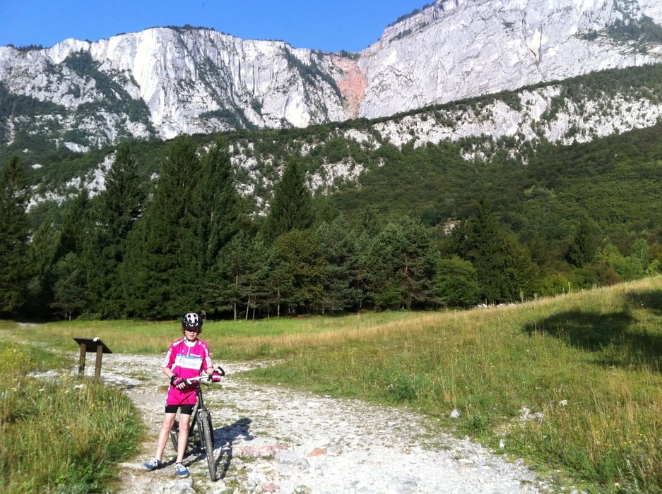
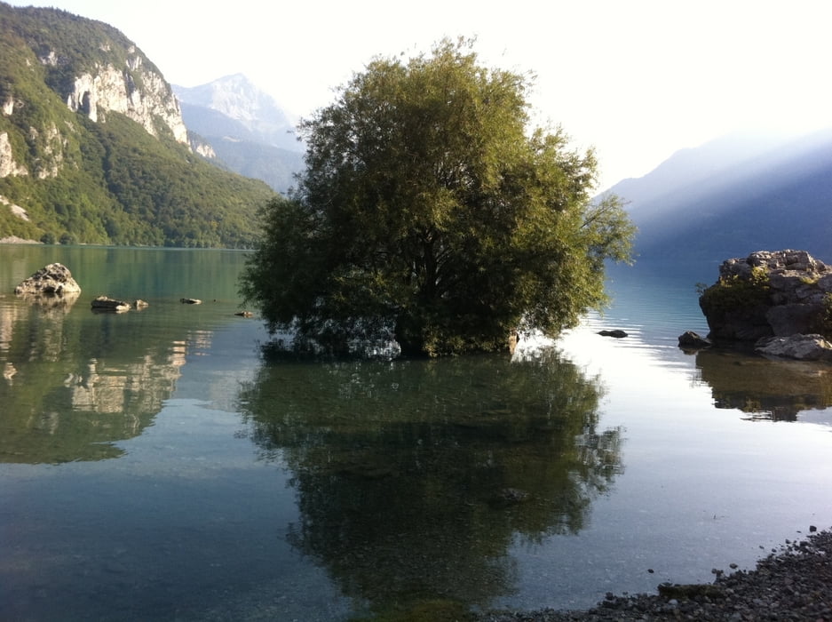
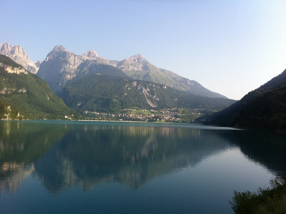
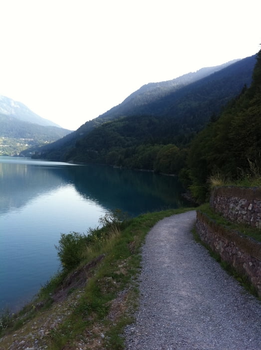
Beautiful trip around “Lago di Molveno”.
I made the trip with my 12 year old son.
Don't forget a towel so you can take a swim half way.
Have fun.
I made the trip with my 12 year old son.
Don't forget a towel so you can take a swim half way.
Have fun.
Fotogalerie van de tocht
Kaart en hoogteprofiel van de tocht
Minimumhoogte 824 m
Maximale hoogte 896 m
Commentaren

We started at the beach near the camping at Molveno.
But you can start at any part of the route.
You can also follow the signs: “Passeggiata Giro Del Lago” “Walk around the Lake”
GPS-tracks
Trackpoints-
GPX / Garmin Map Source (gpx) download
-
TCX / Garmin Training Center® (tcx) download
-
CRS / Garmin Training Center® (crs) download
-
Google Earth (kml) download
-
G7ToWin (g7t) download
-
TTQV (trk) download
-
Overlay (ovl) download
-
Fugawi (txt) download
-
Kompass (DAV) Track (tk) download
-
Pagina van de tocht (pdf) download
-
Origineel dossier van de auteur (gpx) download
Toevoegen aan mijn favorieten
Uit mijn favorieten verwijderen
Tags bewerken
Open track
Mijn waardering
Tarief


