


Date: August 5, 2011
Start: 2507 m (Hochtor)
Finish: 1120 m (Heiligenblut - Rojach)
Highest point: 2671 m (shortly before Weissenbachscharte)
Lowest point: 1120 m
Total ascent: 383 m
Total descent: 1677 m
Information about the Grossglockner Hochalpenstrasse:
http://www.grossglockner.at/
**************************
Do not take anything, do not leave anything!
**************************
Please, do NOT leave trash behind. Paper tissues are also trash! Chocolate wrap as well. Bring a small trash bag with you and take your trash with yourself to the next trash can. It is not that heavy.
**************************
Verdere informatie onder
https://picasaweb.google.com/beatahardi/2011080107HeiligenblutNyaralas?authuser=0&feat=directlinkFotogalerie van de tocht


Kaart en hoogteprofiel van de tocht
Minimumhoogte 1120 m
Maximale hoogte 2671 m
Meer over de tour auteur
|
|
beepee |
Commentaren

Places where you can eat and drink:
Hochtor
Fleisskuchl (Hütte by the Fleiss ski area)
Route:
1. park you car in Heiligenblut, take the bus to Hochtor, it leaves at 9:00 AM)
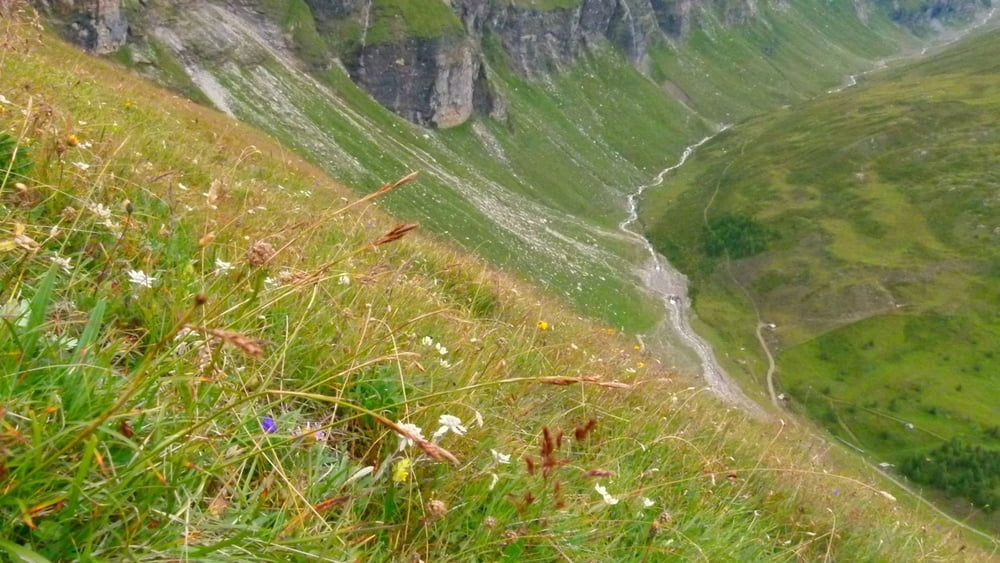
2. at Hochtor, cross the street (careful!!) then walk up, follow the signs towards Tauernkopf/Schareck. Beautiful views all around on the surrounding mountains and the Glocknerstrasse!
3. at crossings, walk towards Sonnblick
4. at Weissenbachscharte, turn right towards Heiligenblut into a beautiful green 'valley'
5. follow signs towards Fleisstal
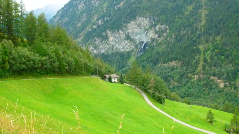
6. when you reach the dirt road follow it towards Heiligenblut
7. after the gold wash place, follow signs towards Rojach, walk down the paved (in sections unpaved) road to Rojach
**************************
Do not take anything, do not leave anything!
**************************
Please, do NOT leave trash behind. Paper tissues are also trash! Chocolate wrap as well. Bring a small trash bag with you and take your trash with yourself to the next trash can. It is not that heavy.
**************************
GPS-tracks
Trackpoints-
GPX / Garmin Map Source (gpx) download
-
TCX / Garmin Training Center® (tcx) download
-
CRS / Garmin Training Center® (crs) download
-
Google Earth (kml) download
-
G7ToWin (g7t) download
-
TTQV (trk) download
-
Overlay (ovl) download
-
Fugawi (txt) download
-
Kompass (DAV) Track (tk) download
-
Pagina van de tocht (pdf) download
-
Origineel dossier van de auteur (gpx) download
Meer over de tour auteur
|
|
beepee |
Toevoegen aan mijn favorieten
Uit mijn favorieten verwijderen
Tags bewerken
Open track
Mijn waardering
Tarief