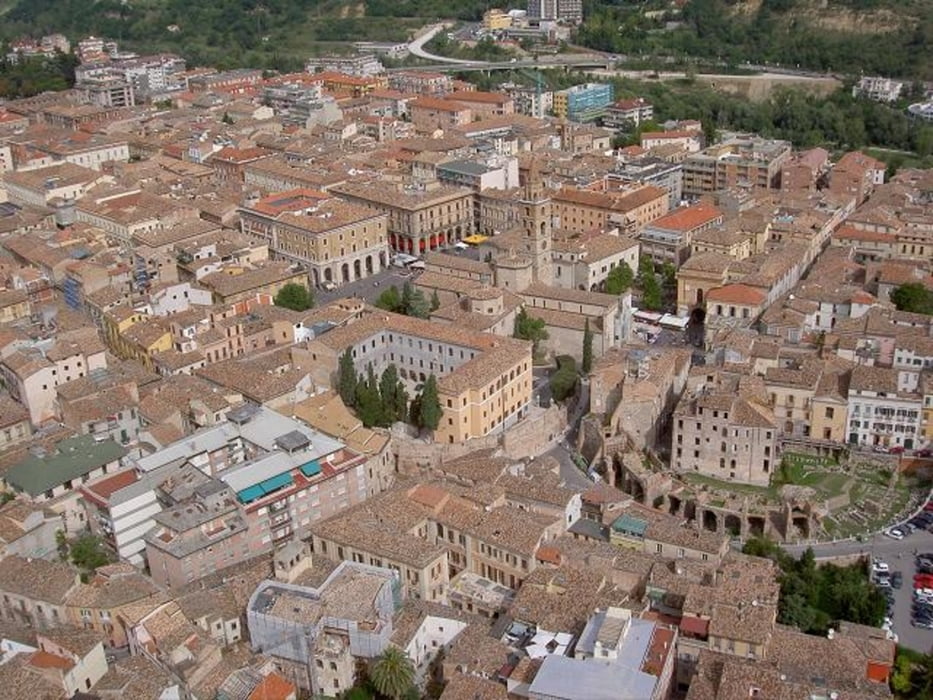
Da Teramo dirigersi a Montorio Al Vomano poi verso Val Vomano, Forcella e osservatorio astronomico Collurania. Arrivati bivio dx e dopo alcuni km bivio sx che riporta alla ss80.
Arrivati in Piazza Garibaldi prendere Viale Bovio poi sx direzione Torricella Sicura. Riscendere verso Teramo!
Fotogalerie van de tocht
Kaart en hoogteprofiel van de tocht
Minimumhoogte 64 m
Maximale hoogte 360 m
Commentaren

GPS-tracks
Trackpoints-
GPX / Garmin Map Source (gpx) download
-
TCX / Garmin Training Center® (tcx) download
-
CRS / Garmin Training Center® (crs) download
-
Google Earth (kml) download
-
G7ToWin (g7t) download
-
TTQV (trk) download
-
Overlay (ovl) download
-
Fugawi (txt) download
-
Kompass (DAV) Track (tk) download
-
Pagina van de tocht (pdf) download
-
Origineel dossier van de auteur (gpx) download
Toevoegen aan mijn favorieten
Uit mijn favorieten verwijderen
Tags bewerken
Open track
Mijn waardering
Tarief


