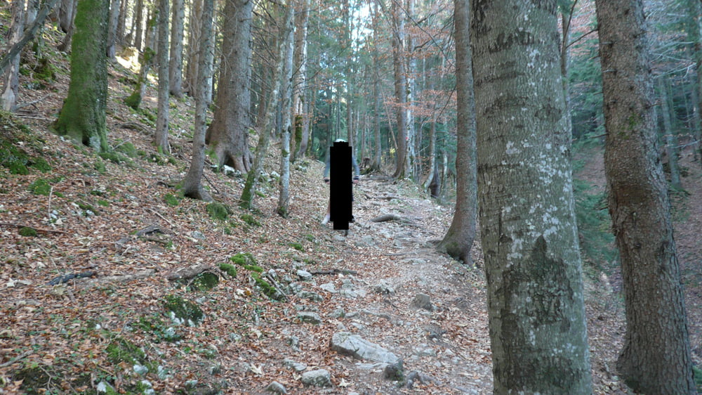
Very nice tour around the Hirschbergh.
The tour has 3 nice trails where the best is saved for last, a downhill on a small skislope.
I would recommend this tour on dry days, required technical skills are an ok ish mountain biker with at least some expiriance on more technical terrain.
Fotogalerie van de tocht
Kaart en hoogteprofiel van de tocht
Minimumhoogte 756 m
Maximale hoogte 1308 m
Commentaren

GPS-tracks
Trackpoints-
GPX / Garmin Map Source (gpx) download
-
TCX / Garmin Training Center® (tcx) download
-
CRS / Garmin Training Center® (crs) download
-
Google Earth (kml) download
-
G7ToWin (g7t) download
-
TTQV (trk) download
-
Overlay (ovl) download
-
Fugawi (txt) download
-
Kompass (DAV) Track (tk) download
-
Pagina van de tocht (pdf) download
-
Origineel dossier van de auteur (gpx) download
Toevoegen aan mijn favorieten
Uit mijn favorieten verwijderen
Tags bewerken
Open track
Mijn waardering
Tarief


