Login

Забыл пароль?

Cookies have to be accepted!
Your browser's cookie functionality is disabled. Please enable this functionality.

Not a member yet?

Register now
Login

Available for registred users only

Log in to use this feature.

Забыл пароль?

Cookies have to be accepted!
Your browser's cookie functionality is disabled. Please enable this functionality.

Not a member yet?

Register now
Filter
Категории
Advanced filters
  • Длина (км)
  • Высотомер
Сохранить фильтр Reset filter

TrackRank

QRCode

Technical data

Длина13,1 km Высотомер453 m Way down461 m Длительность03:00 h:m Дата19.05.2012
Оценки Author Ландшафт Веселье Кондиция Техника

Статистика

666 Виды Оценки 74 Загрузки Среднее
Rate
  • Формуляр маршрута
  • Дорога
  • Загрузки
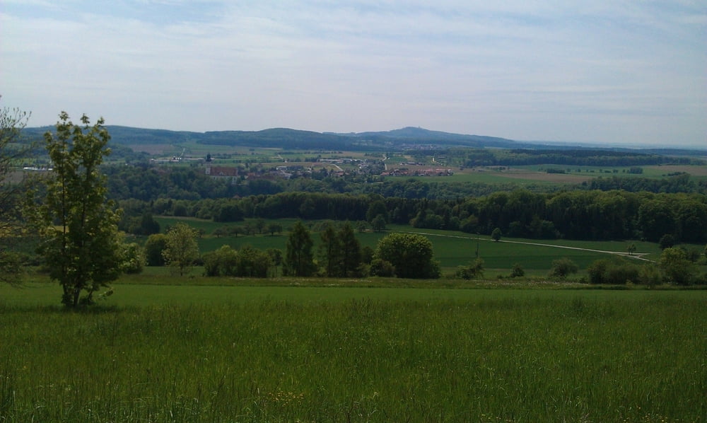
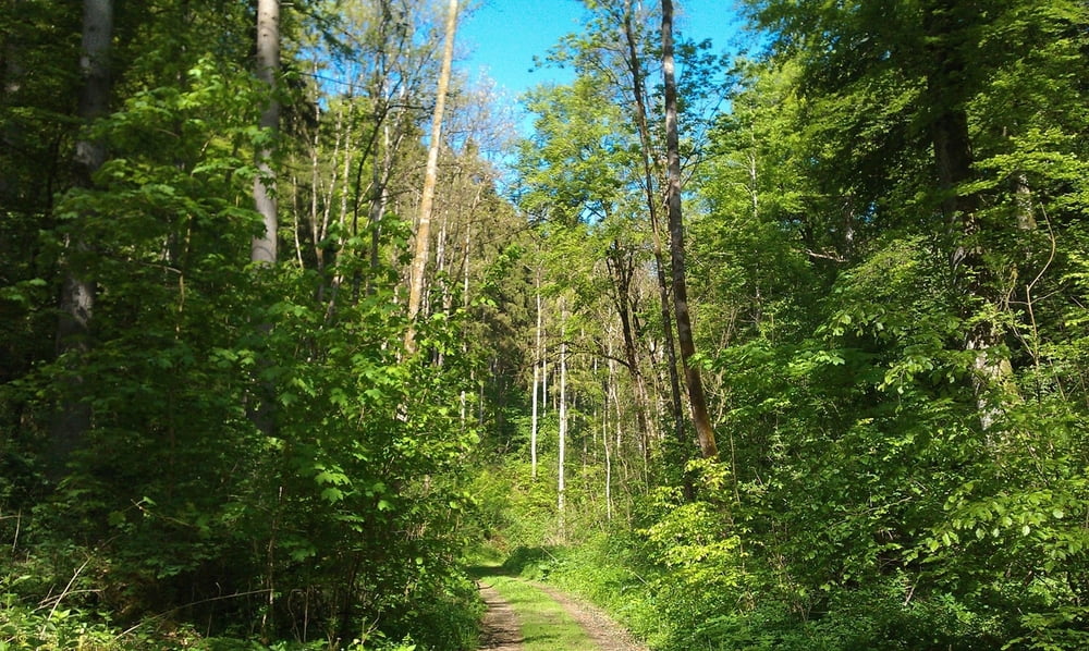
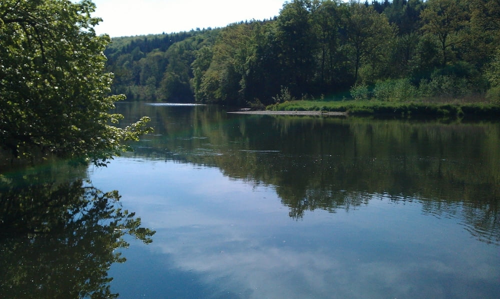
Rundwanderung von Rechtenstein aus zuerst entlang der Donau, danach über Felder und Wiesen ins Lautertal. Entlang der Lauter bis zum Wolfstal. Über den Bismarktstein zurück nach Rechtenstein.

Галерея маршрутов

Карта маршрута и высотный профиль

  • Open Street Map
  • Google
Minimum height 481 m Maximum height 662 m Детальный вид

More about the tour author

mareb1972
Member since 2009

Send private message

Комментарии

Mit dem Auto bis Rechtenstein. Parken z.B. beim Bahnhof

GPS-Tracks

Trackpoints
  • GPX / Garmin Map Source (gpx) download
  • TCX / Garmin Training Center® (tcx) download
  • CRS / Garmin Training Center® (crs) download
  • Google Earth (kml) download
  • G7ToWin (g7t) download
  • TTQV (trk) download
  • Overlay (ovl) download
  • Fugawi (txt) download
  • Kompass (DAV) Track (tk) download
  • Формуляр маршрута (pdf) download
  • Original file of the author (gpx) download

More about the tour author

mareb1972
Member since 2009

Send private message
Share track
Add to my favorites
Remove from my favorites
Edit tags
My score
Rate
Маршрут: Rundwanderung vom Donautal ins Lautertal
Вид: Пешеходный туризм
Длина: 13,1 km
Evaluated on:
Длительность:
Day(s)
Hour(s)
Minute(s)
Оценка: Ландшафт Веселье Кондиция Техника