Login

Забыл пароль?

Cookies have to be accepted!
Your browser's cookie functionality is disabled. Please enable this functionality.

Not a member yet?

Register now
Login

Available for registred users only

Log in to use this feature.

Забыл пароль?

Cookies have to be accepted!
Your browser's cookie functionality is disabled. Please enable this functionality.

Not a member yet?

Register now
Filter
Категории
Advanced filters
  • Длина (км)
  • Высотомер
Сохранить фильтр Reset filter

TrackRank

QRCode

Technical data

Длина38,9 km Высотомер453 m Way down453 m Длительность03:15 h:m Дата28.05.2012
Оценки Author Ландшафт Веселье Кондиция Техника

Статистика

329 Виды Оценки 62 Загрузки Среднее
Rate
  • Формуляр маршрута
  • Дорога
  • Загрузки
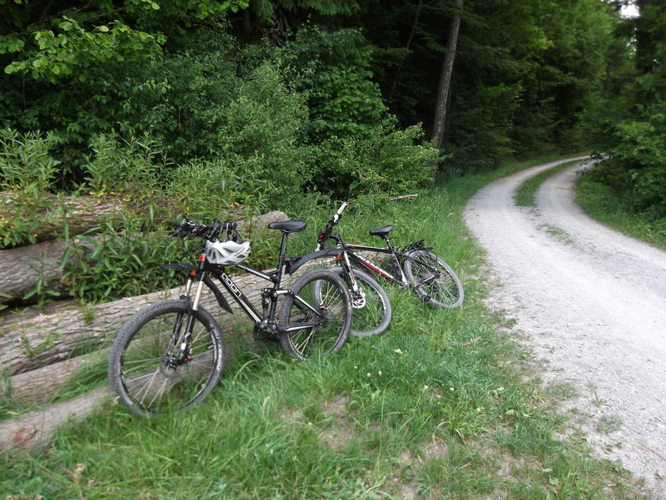
Einen wunderschöner Rundkurs mit kleinen Steigungen die auch ohne viel Training gut zu meistern sind. Die Tour führt größenteils über Asphalt und Schotterwege

Галерея маршрутов

Карта маршрута и высотный профиль

  • Open Street Map
  • Google
Minimum height 310 m Maximum height 436 m Детальный вид

More about the tour author

icemann1987
Member since 2010

Send private message

Комментарии

Gestartet wird am besten von Oberrot aus.

GPS-Tracks

Trackpoints
  • GPX / Garmin Map Source (gpx) download
  • TCX / Garmin Training Center® (tcx) download
  • CRS / Garmin Training Center® (crs) download
  • Google Earth (kml) download
  • G7ToWin (g7t) download
  • TTQV (trk) download
  • Overlay (ovl) download
  • Fugawi (txt) download
  • Kompass (DAV) Track (tk) download
  • Формуляр маршрута (pdf) download
  • Original file of the author (gpx) download

More about the tour author

icemann1987
Member since 2010

Send private message
Share track
Add to my favorites
Remove from my favorites
Edit tags
My score
Rate
Маршрут: ROTTAL-Rot-Kocher-die-zwei-Fluesse-Tour
Вид: Горный велосипед
Длина: 38,9 km
Evaluated on:
Длительность:
Day(s)
Hour(s)
Minute(s)
Оценка: Ландшафт Веселье Кондиция Техника