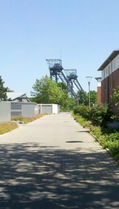
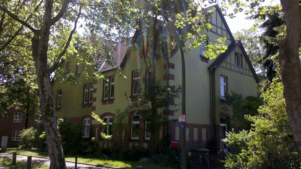
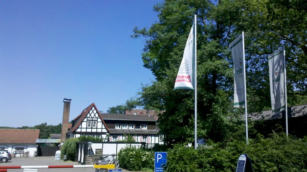
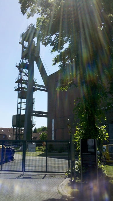
Ich habe die „Architekt(o)ur“ der Stadt Marl als Grundlage für meine Runde durch Marl genommen. Start und Ziel ist der Bf Marl Mitte. Erweitert habe ich die Tour durch eine Fahrt durch den Volkspark.
Further information at
http://www.marl.de/marl-nach-themen/freizeit-und-sport/fahrradfreundliche-stadt/architektour.htmlГалерея маршрутов
Карта маршрута и высотный профиль
Minimum height 38 m
Maximum height 76 m
Комментарии

GPS-Tracks
Trackpoints-
GPX / Garmin Map Source (gpx) download
-
TCX / Garmin Training Center® (tcx) download
-
CRS / Garmin Training Center® (crs) download
-
Google Earth (kml) download
-
G7ToWin (g7t) download
-
TTQV (trk) download
-
Overlay (ovl) download
-
Fugawi (txt) download
-
Kompass (DAV) Track (tk) download
-
Формуляр маршрута (pdf) download
-
Original file of the author (gpx) download
Add to my favorites
Remove from my favorites
Edit tags
Open track
My score
Rate


