Login

Забыл пароль?

Cookies have to be accepted!
Your browser's cookie functionality is disabled. Please enable this functionality.

Not a member yet?

Register now
Login

Available for registred users only

Log in to use this feature.

Забыл пароль?

Cookies have to be accepted!
Your browser's cookie functionality is disabled. Please enable this functionality.

Not a member yet?

Register now
Filter
Категории
Advanced filters
  • Длина (км)
  • Высотомер
Сохранить фильтр Reset filter

TrackRank

QRCode

Technical data

Длина94,5 km Высотомер1426 m Way down1428 m Длительность04:10 h:m Дата07.06.2012
Оценки Author Ландшафт Веселье Кондиция Техника

Статистика

228 Виды Оценки 34 Загрузки Среднее
Rate
  • Формуляр маршрута
  • Дорога
  • Загрузки
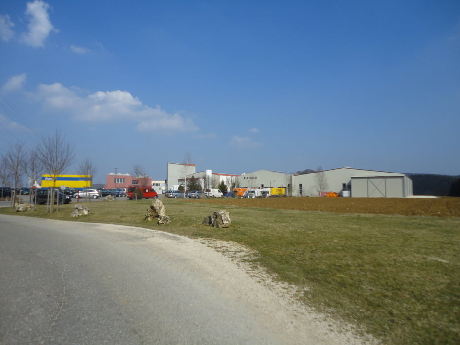
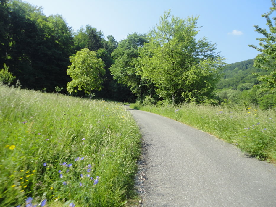
Von Gomaringen (INJOY) nach Bronnweiler-Pfullingen-Eningen-Lindenhof-Albgut Lindenhof-Degental-Lonsinger Tal-Offenhausen-Oberstetten-Steinhilben-Trochtelfingen (Alb Gold Nudelfabrik)-Undingen-Willmandingen Windpark-Melchingen-Salmendingen-Talheim-Öschingen-Gomaringen.

Галерея маршрутов

Карта маршрута и высотный профиль

  • Open Street Map
  • Google
Minimum height 406 m Maximum height 828 m Детальный вид

More about the tour author

ubikefun
Member since 2010

Send private message

Комментарии

GPS-Tracks

Trackpoints
  • GPX / Garmin Map Source (gpx) download
  • TCX / Garmin Training Center® (tcx) download
  • CRS / Garmin Training Center® (crs) download
  • Google Earth (kml) download
  • G7ToWin (g7t) download
  • TTQV (trk) download
  • Overlay (ovl) download
  • Fugawi (txt) download
  • Kompass (DAV) Track (tk) download
  • Формуляр маршрута (pdf) download
  • Original file of the author (tcx) download

More about the tour author

ubikefun
Member since 2010

Send private message
Share track
Add to my favorites
Remove from my favorites
Edit tags
My score
Rate
Маршрут: Von Gomaringen nach Eningen auf die Alb
Вид: Горный велосипед
Длина: 94,5 km
Evaluated on:
Длительность:
Day(s)
Hour(s)
Minute(s)
Оценка: Ландшафт Веселье Кондиция Техника