Weißenbach - Lechtal-Radweg - bis Stockach - links ins Sulzltal.
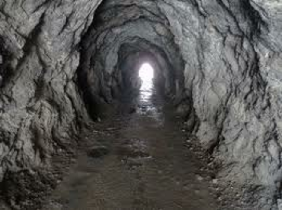
Von Weißenbach-Sportplatz (Parkmöglichkeit) den Radweg entlang des Lech`s bis nach Stockach, nach dem Unterführungstunnel gehts links ins Sulzltal. Zuerst ziemlich steil durch den Wald, dann kommt man zu den Tunnel`s die durch die Felswand führen, danach noch einige hundert Meter und man ist am ZIEL -- SULZLALM 1466m
Галерея маршрутов
Карта маршрута и высотный профиль
Minimum height 879 m
Maximum height 1509 m
Комментарии

GPS-Tracks
Trackpoints-
GPX / Garmin Map Source (gpx) download
-
TCX / Garmin Training Center® (tcx) download
-
CRS / Garmin Training Center® (crs) download
-
Google Earth (kml) download
-
G7ToWin (g7t) download
-
TTQV (trk) download
-
Overlay (ovl) download
-
Fugawi (txt) download
-
Kompass (DAV) Track (tk) download
-
Формуляр маршрута (pdf) download
-
Original file of the author (gpx) download
Add to my favorites
Remove from my favorites
Edit tags
Open track
My score
Rate


