Login

Забыл пароль?

Cookies have to be accepted!
Your browser's cookie functionality is disabled. Please enable this functionality.

Not a member yet?

Register now
Login

Available for registred users only

Log in to use this feature.

Забыл пароль?

Cookies have to be accepted!
Your browser's cookie functionality is disabled. Please enable this functionality.

Not a member yet?

Register now
Filter
Категории
Advanced filters
  • Длина (км)
  • Высотомер
Сохранить фильтр Reset filter

TrackRank

QRCode

Technical data

Длина29,8 km Высотомер262 m Way down270 m Длительность02:00 h:m Дата08.06.2012
Оценки Author Ландшафт Веселье Кондиция Техника

Статистика

1546 Виды Оценки 307 Загрузки Среднее
Rate
  • Формуляр маршрута
  • Дорога
  • Загрузки

Wir haben die Tour in Uffing begonnen, daher hatten wir zuerst die Höhenmeter und sind zum Ende der Tour eben um den Staffelsee.
Es sind ca. 2/3 der Wege asphaltiert und 1/3 sind Feldwege.
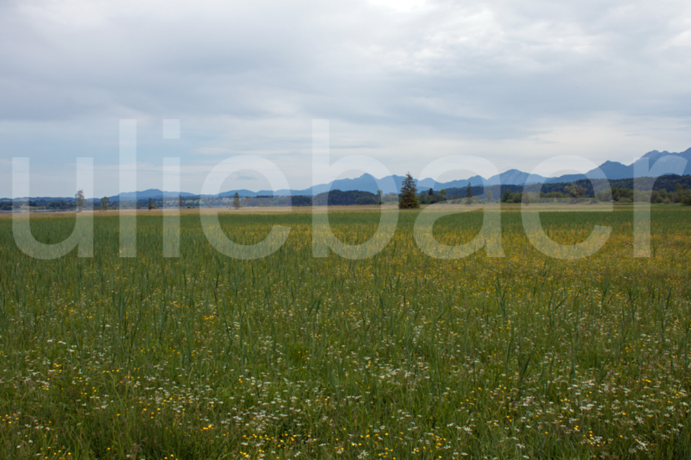
 

Галерея маршрутов

Карта маршрута и высотный профиль

  • Open Street Map
  • Google
Minimum height 647 m Maximum height 737 m Детальный вид

More about the tour author

uliebaer
Member since 2010

Send private message

Комментарии

Entweder mit dem Zug, oder mit dem Auto, Bahnhof Murnau oder Uffing.

GPS-Tracks

Trackpoints
  • GPX / Garmin Map Source (gpx) download
  • TCX / Garmin Training Center® (tcx) download
  • CRS / Garmin Training Center® (crs) download
  • Google Earth (kml) download
  • G7ToWin (g7t) download
  • TTQV (trk) download
  • Overlay (ovl) download
  • Fugawi (txt) download
  • Kompass (DAV) Track (tk) download
  • Формуляр маршрута (pdf) download
  • Original file of the author (gpx) download

More about the tour author

uliebaer
Member since 2010

Send private message
Share track
Add to my favorites
Remove from my favorites
Edit tags
My score
Rate
Маршрут: Um den Staffelsee und Riegsee
Вид: Трековый велосипед
Длина: 29,8 km
Evaluated on:
Длительность:
Day(s)
Hour(s)
Minute(s)
Оценка: Ландшафт Веселье Кондиция Техника