Login

Забыл пароль?

Cookies have to be accepted!
Your browser's cookie functionality is disabled. Please enable this functionality.

Not a member yet?

Register now
Login

Available for registred users only

Log in to use this feature.

Забыл пароль?

Cookies have to be accepted!
Your browser's cookie functionality is disabled. Please enable this functionality.

Not a member yet?

Register now
Filter
Категории
Advanced filters
  • Длина (км)
  • Высотомер
Сохранить фильтр Reset filter

TrackRank

QRCode

Technical data

Длина77,9 km Высотомер2427 m Way down2408 m Длительность08:00 h:m Дата10.06.2012
Оценки Author Ландшафт Веселье Кондиция Техника

Статистика

1979 Виды Оценки 153 Загрузки Среднее
Rate
  • Формуляр маршрута
  • Дорога
  • Загрузки

Wir haben das Buch
"Bike Guide Comer See"
von Annette und Rainer Kälberer aus dem Bergverlag Rother verwendet.

Weiter Infos findet ihr im Buch.

http://www.amazon.de/Comer-See-Mountainbike-Touren-GPS-Tracks-MTB-Touren/dp/3763350209

Further information at

http://www.bike-treff-niefern.de

Галерея маршрутов

Карта маршрута и высотный профиль

  • Open Street Map
  • Google
Minimum height 186 m 
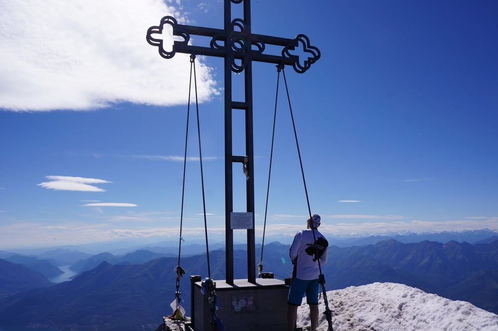
Maximum height 2407 m Детальный вид

More about the tour author

winklem
Member since 2005

Send private message

Комментарии

GPS-Tracks

Trackpoints
  • GPX / Garmin Map Source (gpx) download
  • TCX / Garmin Training Center® (tcx) download
  • CRS / Garmin Training Center® (crs) download
  • Google Earth (kml) download
  • G7ToWin (g7t) download
  • TTQV (trk) download
  • Overlay (ovl) download
  • Fugawi (txt) download
  • Kompass (DAV) Track (tk) download
  • Формуляр маршрута (pdf) download
  • Original file of the author (gpx) download

More about the tour author

winklem
Member since 2005

Send private message
Share track
Add to my favorites
Remove from my favorites
Edit tags
My score
Rate
Маршрут: Comer See 4. Tag Monte Legnone
Вид: Горный велосипед
Длина: 77,9 km
Evaluated on:
Длительность:
Day(s)
Hour(s)
Minute(s)
Оценка: Ландшафт Веселье Кондиция Техника