
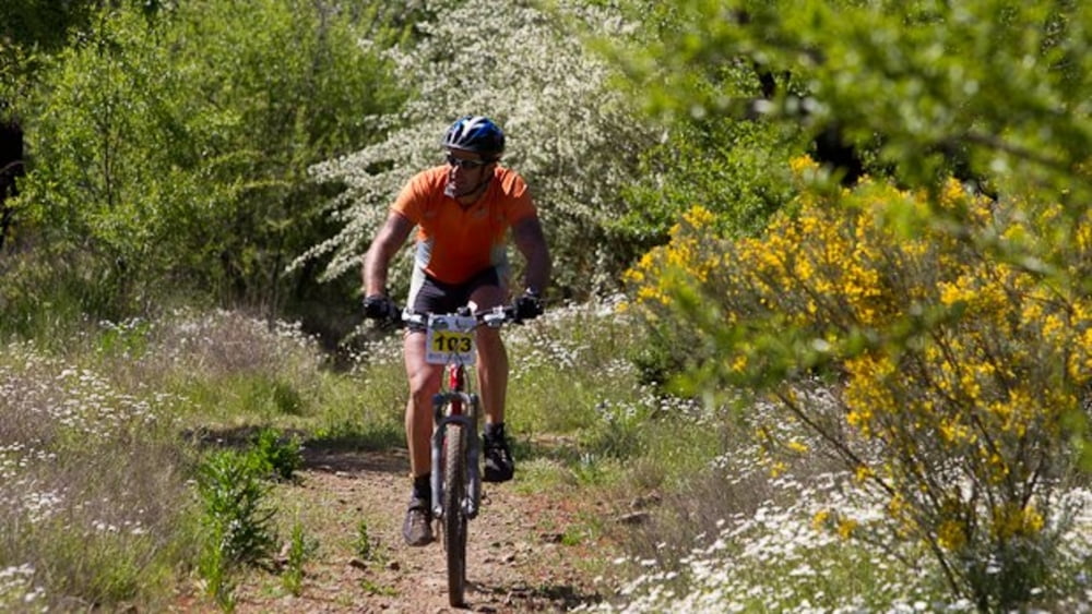

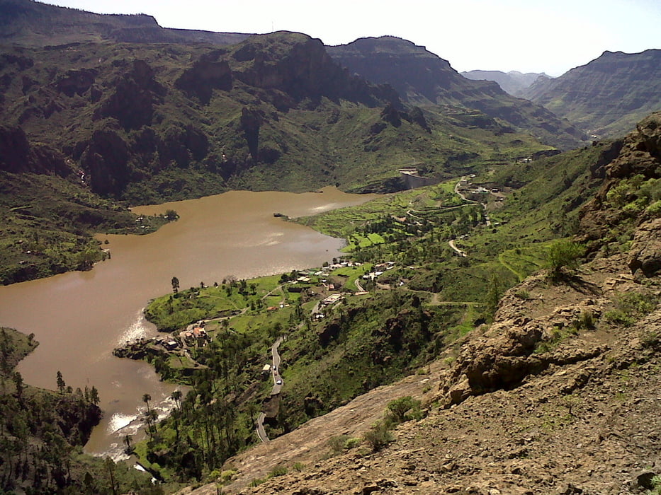
Ruta a la cumbre de Gran Canaria.Subita por Carretera y bajada por trialeras hasta Tunte.Paisaje con vistas.Ruta bastante tecnica por las trialeras.
Галерея маршрутов

Карта маршрута и высотный профиль
Minimum height 31 m
Maximum height 1143 m
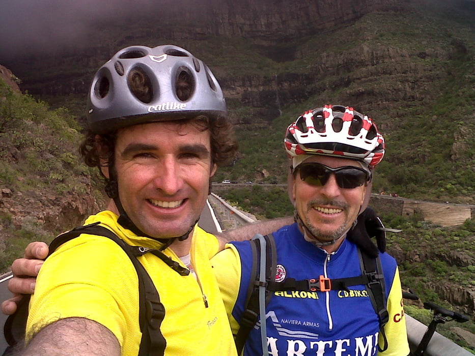
More about the tour author
|
|
madeheimclaudio |
Комментарии

Salida desde Maspalomas parking del parque del sur.
GPS-Tracks
Trackpoints-
GPX / Garmin Map Source (gpx) download
-
TCX / Garmin Training Center® (tcx) download
-
CRS / Garmin Training Center® (crs) download
-
Google Earth (kml) download
-
G7ToWin (g7t) download
-
TTQV (trk) download
-
Overlay (ovl) download
-
Fugawi (txt) download
-
Kompass (DAV) Track (tk) download
-
Формуляр маршрута (pdf) download
-
Original file of the author (tcx) download
More about the tour author
|
|
madeheimclaudio |
Add to my favorites
Remove from my favorites
Edit tags
Open track
My score
Rate