


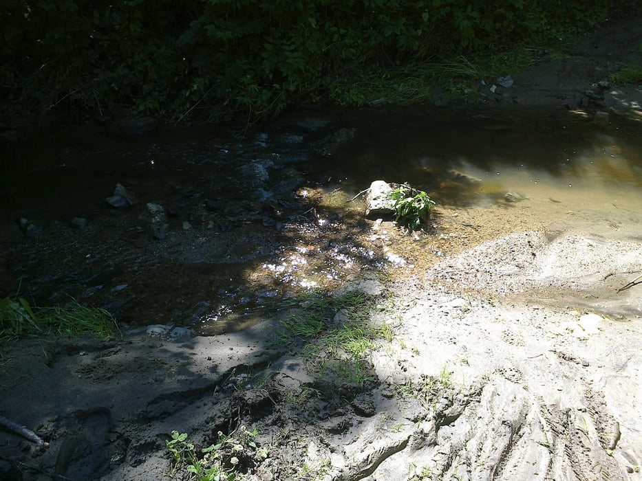
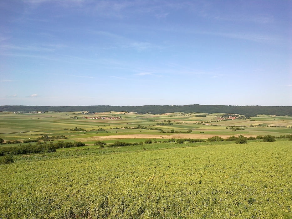
Schöne Tour, am besten ab Thunau, direkter Einstieg nach Bahnübergang rechts, sehr gute Parkplatzmöglichkleit für eventuelles Auto. bin die Tour nach vorangegangenen Regentagen gefahren, daher lehmiger Untergrund und die 9 Bachüberquerungen sehr anspruchsvoll da hoher Wasserstand, durchfahren nur bedingt möglich. Wege ziemlich verwachsen, hohe Sträucher, umgekippte Bäume. Alles in allem lustige und interessante Tour, einige Eidechsen und Schlangen (klein) am Weg. Tour entlang dem Kamptalweg und immer wieder "Abzweigungen" in diverse Walddurchfahrten.
Leider sind viele Wegweiser ausgebleicht und kaum lesbar, oder fehlen zur Gänze, dadurch hatte ich einige "Verfahrer"
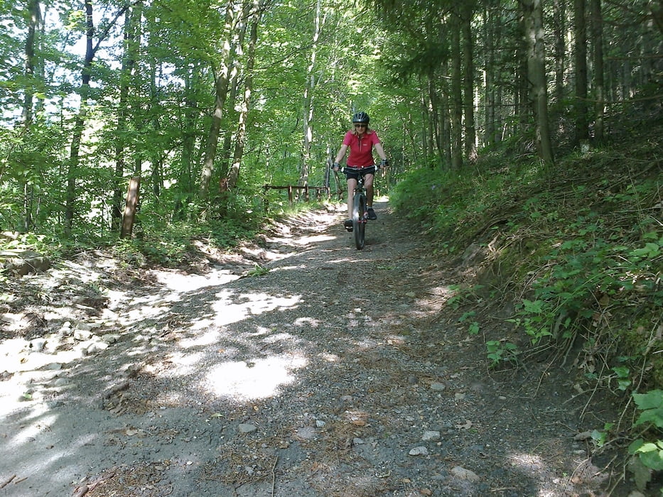
Das Schlusstück - schöner Singeltrail hinunter nach Gars.
Галерея маршрутов
Карта маршрута и высотный профиль
Minimum height 226 m
Maximum height 437 m
More about the tour author
|
|
oskar22 |
Комментарии

GPS-Tracks
Trackpoints-
GPX / Garmin Map Source (gpx) download
-
TCX / Garmin Training Center® (tcx) download
-
CRS / Garmin Training Center® (crs) download
-
Google Earth (kml) download
-
G7ToWin (g7t) download
-
TTQV (trk) download
-
Overlay (ovl) download
-
Fugawi (txt) download
-
Kompass (DAV) Track (tk) download
-
Формуляр маршрута (pdf) download
-
Original file of the author (gpx) download
More about the tour author
|
|
oskar22 |
Add to my favorites
Remove from my favorites
Edit tags
Open track
My score
Rate