Login

Забыл пароль?

Cookies have to be accepted!
Your browser's cookie functionality is disabled. Please enable this functionality.

Not a member yet?

Register now
Login

Available for registred users only

Log in to use this feature.

Забыл пароль?

Cookies have to be accepted!
Your browser's cookie functionality is disabled. Please enable this functionality.

Not a member yet?

Register now
Filter
Категории
Advanced filters
  • Длина (км)
  • Высотомер
Сохранить фильтр Reset filter

TrackRank

QRCode

Technical data

Длина19,4 km Высотомер0 m Way down0 m Длительность01:00 h:m Дата16.06.2012
Оценки Author Ландшафт Веселье Кондиция Техника

Статистика

385 Виды Оценки 23 Загрузки Среднее
Rate
  • Формуляр маршрута
  • Дорога
  • Загрузки

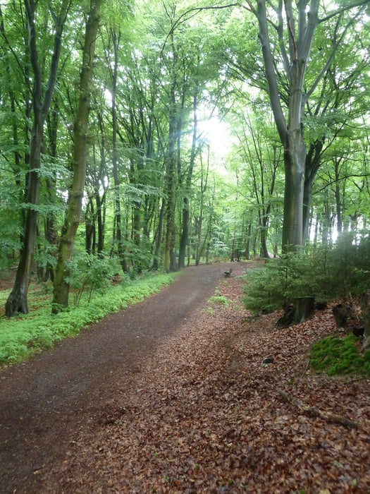
20km MTB über flaches Land ohne große Anforderung, aber schöne Strecke. Start/ Ziel kann sich eigentlich jeder Selbstausuchen.

Empfohlen an alter Mühle mit schöner Restauration N51 09.715 E6 16.483


Галерея маршрутов

Карта маршрута и высотный профиль

  • Open Street Map
  • Google
Minimum height 99999 m Maximum height -99999 m Детальный вид

More about the tour author

koelner1977
Member since 2012

Send private message

Комментарии

GPS-Tracks

Trackpoints
  • GPX / Garmin Map Source (gpx) download
  • TCX / Garmin Training Center® (tcx) download
  • CRS / Garmin Training Center® (crs) download
  • Google Earth (kml) download
  • G7ToWin (g7t) download
  • TTQV (trk) download
  • Overlay (ovl) download
  • Fugawi (txt) download
  • Kompass (DAV) Track (tk) download
  • Формуляр маршрута (pdf) download
  • Original file of the author (gpx) download

More about the tour author

koelner1977
Member since 2012

Send private message
Share track
Add to my favorites
Remove from my favorites
Edit tags
My score
Rate
Маршрут: Region Wegberg - Niederkrüchten
Вид: Горный велосипед
Длина: 19,4 km
Evaluated on:
Длительность:
Day(s)
Hour(s)
Minute(s)
Оценка: Ландшафт Веселье Кондиция Техника