Login

Забыл пароль?

Cookies have to be accepted!
Your browser's cookie functionality is disabled. Please enable this functionality.

Not a member yet?

Register now
Login

Available for registred users only

Log in to use this feature.

Забыл пароль?

Cookies have to be accepted!
Your browser's cookie functionality is disabled. Please enable this functionality.

Not a member yet?

Register now
Filter
Категории
Advanced filters
  • Длина (км)
  • Высотомер
Сохранить фильтр Reset filter

TrackRank

QRCode

Technical data

Длина69,6 km Высотомер1396 m Way down1373 m Длительность03:45 h:m Дата30.06.2012
Оценки Author Ландшафт Веселье Кондиция Техника

Статистика

201 Виды Оценки 20 Загрузки Среднее
Rate
  • Формуляр маршрута
  • Дорога
  • Загрузки
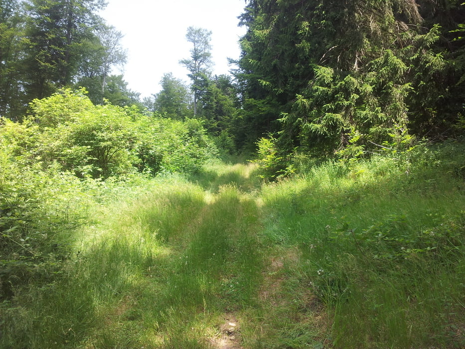
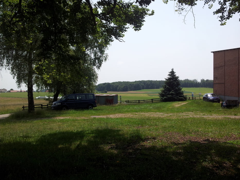
Lörrach - Schopfheim - Wehr - Honberg Becken - Hütten Flugplatz - Wehr - Dossenbach - Minseln - Adelhausen - Bühler Hütte - Lörrach

Further information at

http://www.runtastic.com/de/benutzer/Sven-Waldvogel/sportaktivitaeten/17512547

Галерея маршрутов

Карта маршрута и высотный профиль

  • Open Street Map
  • Google
Minimum height 290 m Maximum height 1046 m Детальный вид

More about the tour author

Falcon7
Member since 2010

Send private message

Комментарии

Start: Parkplatz St. Peterskirche, Grütt, Lörrach.

GPS-Tracks

Trackpoints
  • GPX / Garmin Map Source (gpx) download
  • TCX / Garmin Training Center® (tcx) download
  • CRS / Garmin Training Center® (crs) download
  • Google Earth (kml) download
  • G7ToWin (g7t) download
  • TTQV (trk) download
  • Overlay (ovl) download
  • Fugawi (txt) download
  • Kompass (DAV) Track (tk) download
  • Формуляр маршрута (pdf) download
  • Original file of the author (gpx) download

More about the tour author

Falcon7
Member since 2010

Send private message
Share track
Add to my favorites
Remove from my favorites
Edit tags
My score
Rate
Маршрут: Hornberg Flugplatz Hütten
Вид: Горный велосипед
Длина: 69,6 km
Evaluated on:
Длительность:
Day(s)
Hour(s)
Minute(s)
Оценка: Ландшафт Веселье Кондиция Техника