
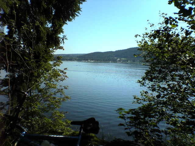

Bleilochtalsperre ist in der nähe von Schleiz ca. 7km. Leicht zu erreichen über die A9. Start ist auf der Badewiese bei Saalburg (Kloster). Von da aus geht es Richtung Saalburg nach der Brücke recht oberhalb vom Parkplatz und es kann los gehen. Es sind stellenweise schöne Singeltrails die über flache Wurzeln, kleine Steine und vereinzelte Erosionswasserrinnen führen. Viel Spaß
Further information at
http://www.saalburg-ebersdorf.de/phpwcms/index.phpКарта маршрута и высотный профиль
Minimum height 412 m
Maximum height 449 m
More about the tour author
|
|
lupo-sonne |
Комментарии

GPS-Tracks
Trackpoints-
GPX / Garmin Map Source (gpx) download
-
TCX / Garmin Training Center® (tcx) download
-
CRS / Garmin Training Center® (crs) download
-
Google Earth (kml) download
-
G7ToWin (g7t) download
-
TTQV (trk) download
-
Overlay (ovl) download
-
Fugawi (txt) download
-
Kompass (DAV) Track (tk) download
-
Формуляр маршрута (pdf) download
-
Original file of the author (gpx) download
More about the tour author
|
|
lupo-sonne |
Add to my favorites
Remove from my favorites
Edit tags
Open track
My score
Rate