


Pohorje crossing from east to west.
Start near Maribor in Zg. Polskava, steady moderate ascent to Areha (skiing area, mountain hut), partly asphalt, partly gravel. On the Areh real joy begin. Track follows different surfaces - from footpaths to small gravel roads, Difficulties varies from simple to very demanding.
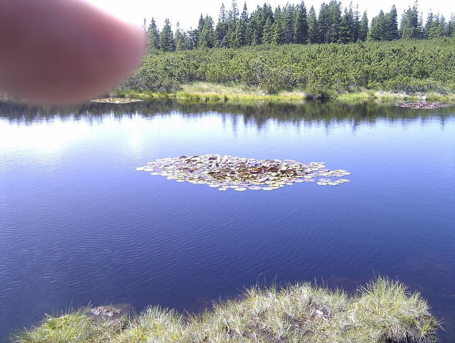
Pohorje mountain range is covered with vast forests, water springs and wetlands (mostly on a see level 1000-1500m) - extremely pleasant to cycle in summer heat.
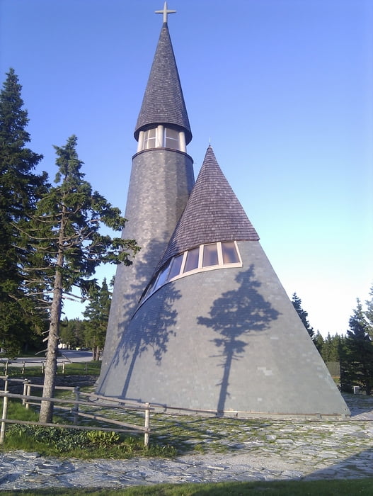
Track passes three ski areas (Areh, Rogla, Kope) and many monutain huts, where you can sleep.
Complete crossing could be possible in 1 day (just for sport) or 3-4 days (leasure pace).
Галерея маршрутов

Карта маршрута и высотный профиль
Minimum height 298 m
Maximum height 1547 m
More about the tour author

|
senior |
Комментарии

Zgornja Polskava is close to Maribor. It is possible to catch a train from final city of Dravograd to Maribor.
GPS-Tracks
Trackpoints-
GPX / Garmin Map Source (gpx) download
-
TCX / Garmin Training Center® (tcx) download
-
CRS / Garmin Training Center® (crs) download
-
Google Earth (kml) download
-
G7ToWin (g7t) download
-
TTQV (trk) download
-
Overlay (ovl) download
-
Fugawi (txt) download
-
Kompass (DAV) Track (tk) download
-
Формуляр маршрута (pdf) download
-
Original file of the author (gpx) download
More about the tour author
|
|
senior |
Add to my favorites
Remove from my favorites
Edit tags
Open track
My score
Rate