Login

Забыл пароль?

Cookies have to be accepted!
Your browser's cookie functionality is disabled. Please enable this functionality.

Not a member yet?

Register now
Login

Available for registred users only

Log in to use this feature.

Забыл пароль?

Cookies have to be accepted!
Your browser's cookie functionality is disabled. Please enable this functionality.

Not a member yet?

Register now
Filter
Категории
Advanced filters
  • Длина (км)
  • Высотомер
Сохранить фильтр Reset filter

TrackRank

QRCode

Technical data

Длина313,4 km Высотомер12671 m Way down14054 m Длительность00:00 h:m Дата07.07.2012
Оценки Author Ландшафт Веселье Кондиция Техника

Статистика

1911 Виды Оценки 261 Загрузки Среднее
Rate
  • Формуляр маршрута
  • Дорога
  • Загрузки

1. Tag  St Anton - Heidelbergerhütte 57 Km / 2107 Hm

2. Tag  Heidelbergerhütte - Sulden 75 Km / 2562 Hm

3. Tag Sulden - Tarscher Alm  52 Km  /  2800 Hm

4. Tag Tarscher Alm - Male`  55 Km / 2073 Hm

5. Tag Male` - Riva del Garda 98 Km  /  3202 Hm
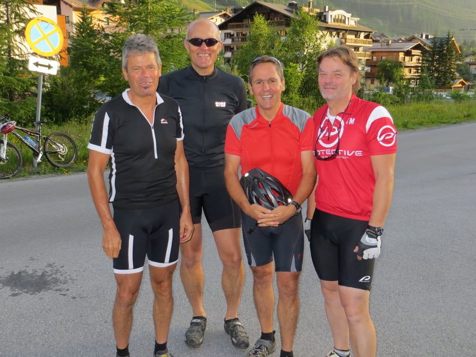
 

Галерея маршрутов

Карта маршрута и высотный профиль

  • Open Street Map
  • Google
Minimum height 68 m Maximum height 3104 m Детальный вид

More about the tour author

knausz
Member since 2010

Send private message

Комментарии

GPS-Tracks

Trackpoints
  • GPX / Garmin Map Source (gpx) download
  • TCX / Garmin Training Center® (tcx) download
  • CRS / Garmin Training Center® (crs) download
  • Google Earth (kml) download
  • G7ToWin (g7t) download
  • TTQV (trk) download
  • Overlay (ovl) download
  • Fugawi (txt) download
  • Kompass (DAV) Track (tk) download
  • Формуляр маршрута (pdf) download
  • Original file of the author (gpx) download

More about the tour author

knausz
Member since 2010

Send private message
Share track
Add to my favorites
Remove from my favorites
Edit tags
My score
Rate
Маршрут: St. Anton - Gardasee
Вид: Горный велосипед
Длина: 313,4 km
Evaluated on:
Длительность:
Day(s)
Hour(s)
Minute(s)
Оценка: Ландшафт Веселье Кондиция Техника