
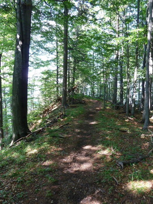

Starts with easy climb on asphalt to warm up, then it gets narrower and steeper.
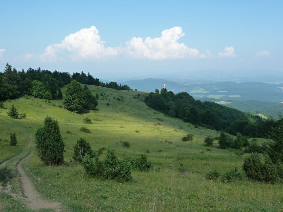
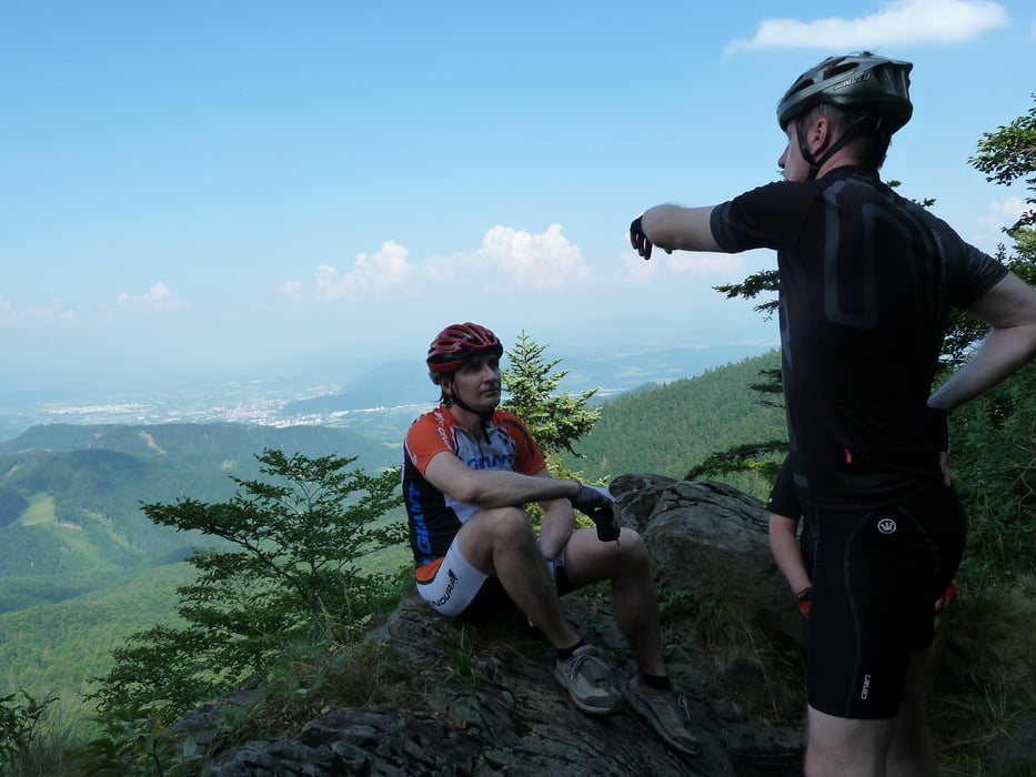
Descend is great fun with some nice single trails, and excellent views from the ridge and the meadows.
Галерея маршрутов


Карта маршрута и высотный профиль
Minimum height 280 m
Maximum height 1210 m
More about the tour author

|
joe007 |
Комментарии

We started from the centre of Sliac (temple). Heading SW on the main (69) road we took the slamm macadam road to Kovacova. Red sign starts on the main road (asphalt). Heading N/NW on Red up to tri-krize (23km from start).
We descended to Ch. Hostinec on Yellow/Blue. Very kind people there, and the possiblity to refill water worth 4 km extra pedaling.
Then we continued East via the Yellow trail on the E rigde all the way down to Kremnicka.
After Crossing the highway there is a nice bycicle trail along the river leading back to Sliac.
GPS-Tracks
Trackpoints-
GPX / Garmin Map Source (gpx) download
-
TCX / Garmin Training Center® (tcx) download
-
CRS / Garmin Training Center® (crs) download
-
Google Earth (kml) download
-
G7ToWin (g7t) download
-
TTQV (trk) download
-
Overlay (ovl) download
-
Fugawi (txt) download
-
Kompass (DAV) Track (tk) download
-
Формуляр маршрута (pdf) download
-
Original file of the author (gpx) download
More about the tour author
|
|
joe007 |
Add to my favorites
Remove from my favorites
Edit tags
Open track
My score
Rate