Login

Забыл пароль?

Cookies have to be accepted!
Your browser's cookie functionality is disabled. Please enable this functionality.

Not a member yet?

Register now
Login

Available for registred users only

Log in to use this feature.

Забыл пароль?

Cookies have to be accepted!
Your browser's cookie functionality is disabled. Please enable this functionality.

Not a member yet?

Register now
Filter
Категории
Advanced filters
  • Длина (км)
  • Высотомер
Сохранить фильтр Reset filter

TrackRank

QRCode

Technical data

Длина42,9 km Высотомер1088 m Way down1061 m Длительность03:08 h:m Дата10.07.2012
Оценки Author Ландшафт Веселье Кондиция Техника

Статистика

625 Виды Оценки 68 Загрузки Среднее
Rate
  • Формуляр маршрута
  • Дорога
  • Загрузки
Bei Nässe sind diverse Abschnitte möglicherweise nicht fahrbar.

Карта маршрута и высотный профиль

  • Open Street Map
  • Google
Minimum height 436 m Maximum height 925 m Детальный вид

More about the tour author

SuchdenFlow
Member since 2011

Send private message

Комментарии

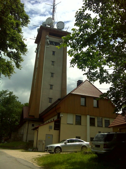
In Pfullingen an den Pfullingerhallen, in der nähe des Freibads kann mann sein Fahrzeug gut abstellen. Es gibt aber genügend andere Parkmöglichkeiten.

GPS-Tracks

Trackpoints
  • GPX / Garmin Map Source (gpx) download
  • TCX / Garmin Training Center® (tcx) download
  • CRS / Garmin Training Center® (crs) download
  • Google Earth (kml) download
  • G7ToWin (g7t) download
  • TTQV (trk) download
  • Overlay (ovl) download
  • Fugawi (txt) download
  • Kompass (DAV) Track (tk) download
  • Формуляр маршрута (pdf) download
  • Original file of the author (gpx) download

More about the tour author

SuchdenFlow
Member since 2011

Send private message
Share track
Add to my favorites
Remove from my favorites
Edit tags
My score
Rate
Маршрут: Trail Tour zum Rossberg
Вид: Горный велосипед
Длина: 42,9 km
Evaluated on:
Длительность:
Day(s)
Hour(s)
Minute(s)
Оценка: Ландшафт Веселье Кондиция Техника