


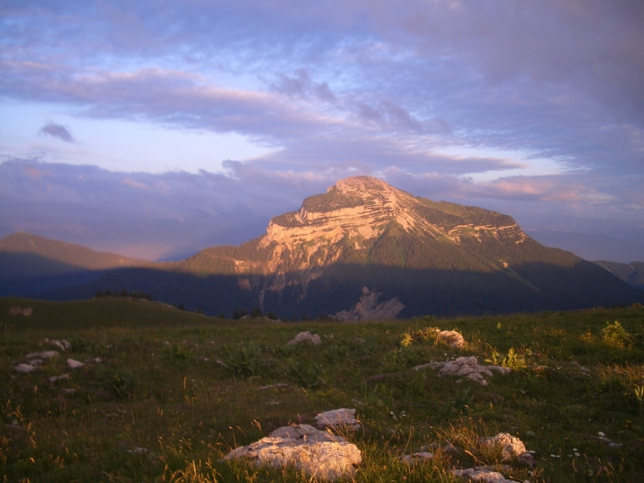
Ein gut markierter Weg durch herrliche Landschaft mit stellenweise lautem Kuhglockenkonzert.
Die Wanderung folgte in Teilen der Tour 44 im Rother Wanderführer "Savoyen" von R. Scholl (1. Aufl. 2006).
Галерея маршрутов

Карта маршрута и высотный профиль
Minimum height 797 m
Maximum height 1886 m
More about the tour author

|
Binuschka |
Комментарии

Ausgangs- und Zielpunkt ist die Le petit Logis in St. Pierre de Chartreuse (La Diat).
GPS-Tracks
Trackpoints-
GPX / Garmin Map Source (gpx) download
-
TCX / Garmin Training Center® (tcx) download
-
CRS / Garmin Training Center® (crs) download
-
Google Earth (kml) download
-
G7ToWin (g7t) download
-
TTQV (trk) download
-
Overlay (ovl) download
-
Fugawi (txt) download
-
Kompass (DAV) Track (tk) download
-
Формуляр маршрута (pdf) download
-
Original file of the author (gpx) download
More about the tour author
|
|
Binuschka |
Add to my favorites
Remove from my favorites
Edit tags
Open track
My score
Rate