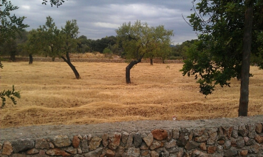
Kurze Runde im Hinterland von Pollenca. Es geht zumeist durch laendliches Gebiet an einigen schoenen Finkas vorbei. Ein einziger Huegel bei Cala de Sant Vincent ist leicht zu bezwingen. Herunter werden die meisten das Rad wohl schieben muessen (sind aber nur so in etwa 150m).
Галерея маршрутов
Карта маршрута и высотный профиль
Minimum height 6 m
Maximum height 78 m
Комментарии

GPS-Tracks
Trackpoints-
GPX / Garmin Map Source (gpx) download
-
TCX / Garmin Training Center® (tcx) download
-
CRS / Garmin Training Center® (crs) download
-
Google Earth (kml) download
-
G7ToWin (g7t) download
-
TTQV (trk) download
-
Overlay (ovl) download
-
Fugawi (txt) download
-
Kompass (DAV) Track (tk) download
-
Формуляр маршрута (pdf) download
-
Original file of the author (gpx) download
Add to my favorites
Remove from my favorites
Edit tags
Open track
My score
Rate


