Mühlbach-Tiergartenalm-Sunnhüttl-Wastlhöhe-Bürglalm-
Übergossene Alm-Dienten-Reicheralm-Lettenalm-Geralm-
Hundstein (Statzerhaus)-Thumersbach
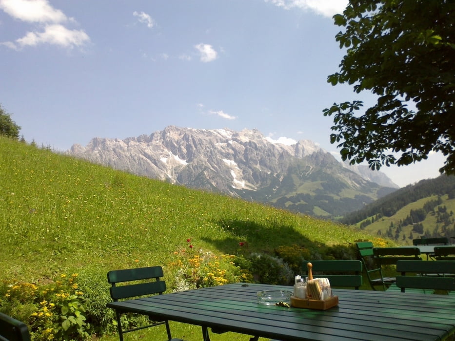
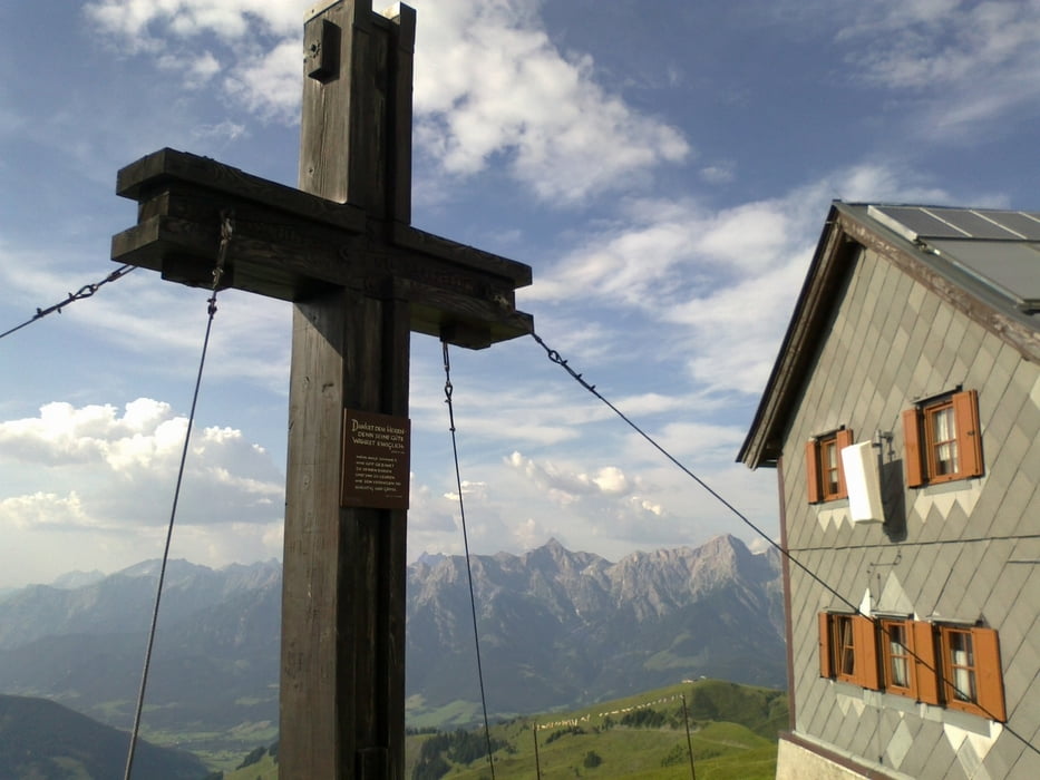
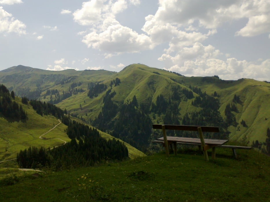
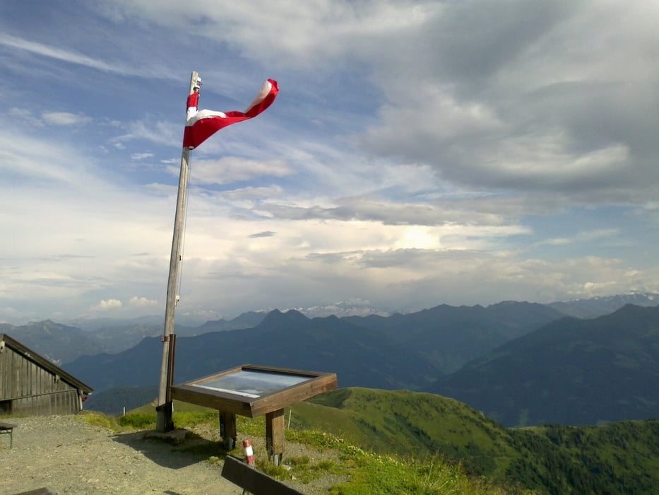
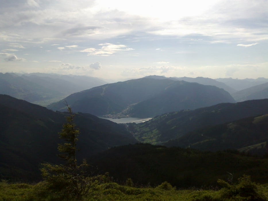
Lässige Anstiege, coole Singletrails! Großartige Almenlandschaft! Einziger Wermutstropfen:
Schiebung auf den Hundstein. Da war ich schon zu fertig. Die Abfahrt vom Hundstein sensationell großteils fahrbarer Singletrail! Mit Kuhstau. Viehbegegnungen: Miniponys, Pferde, Schafe, viele Kühe, Hunde.
Галерея маршрутов
Карта маршрута и высотный профиль
Minimum height 803 m
Maximum height 2113 m
Комментарии

Start in Mühlbach.
GPS-Tracks
Trackpoints-
GPX / Garmin Map Source (gpx) download
-
TCX / Garmin Training Center® (tcx) download
-
CRS / Garmin Training Center® (crs) download
-
Google Earth (kml) download
-
G7ToWin (g7t) download
-
TTQV (trk) download
-
Overlay (ovl) download
-
Fugawi (txt) download
-
Kompass (DAV) Track (tk) download
-
Формуляр маршрута (pdf) download
-
Original file of the author (gpx) download
Add to my favorites
Remove from my favorites
Edit tags
Open track
My score
Rate

