Login

Забыл пароль?

Cookies have to be accepted!
Your browser's cookie functionality is disabled. Please enable this functionality.

Not a member yet?

Register now
Login

Available for registred users only

Log in to use this feature.

Забыл пароль?

Cookies have to be accepted!
Your browser's cookie functionality is disabled. Please enable this functionality.

Not a member yet?

Register now
Filter
Категории
Advanced filters
  • Длина (км)
  • Высотомер
Сохранить фильтр Reset filter

TrackRank

QRCode

Technical data

Длина7,0 km Высотомер43 m Way down55 m Длительность01:30 h:m Дата12.08.2012
Оценки Author Ландшафт Веселье Кондиция Техника

Статистика

491 Виды Оценки 5 Загрузки Среднее
Rate
  • Формуляр маршрута
  • Дорога
  • Загрузки
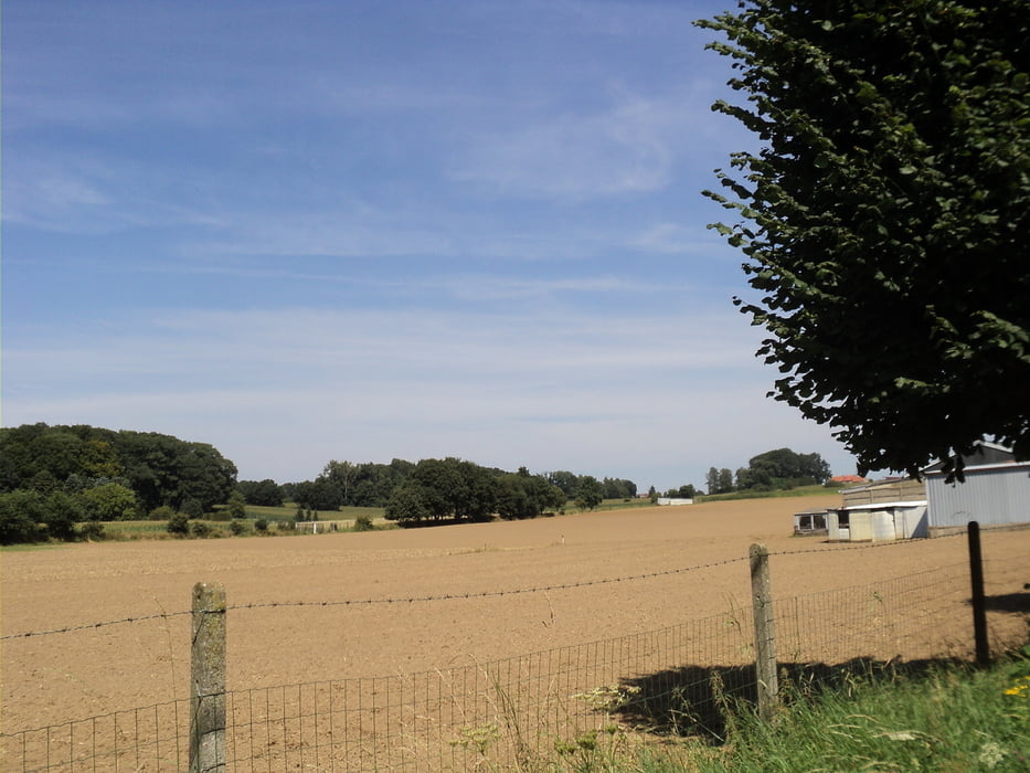
Bewegwijzerde Endepoelwandeling van Bond Beter Leefmilieu Lubbeek, met extra stuk doorheen Bleekbos. Dorpskern Linden, uitgebreide panorama's landelijke omgevinf, bosrijke plateau met velden, loof- en dennenbossen en villawijken.

Галерея маршрутов

Карта маршрута и высотный профиль

  • Open Street Map
  • Google
Minimum height 37 m Maximum height 78 m Детальный вид

More about the tour author

tournst
Member since 2011

Send private message

Комментарии

GPS-Tracks

Trackpoints
  • GPX / Garmin Map Source (gpx) download
  • TCX / Garmin Training Center® (tcx) download
  • CRS / Garmin Training Center® (crs) download
  • Google Earth (kml) download
  • G7ToWin (g7t) download
  • TTQV (trk) download
  • Overlay (ovl) download
  • Fugawi (txt) download
  • Kompass (DAV) Track (tk) download
  • Формуляр маршрута (pdf) download
  • Original file of the author (gpx) download

More about the tour author

tournst
Member since 2011

Send private message
Share track
Add to my favorites
Remove from my favorites
Edit tags
My score
Rate
Маршрут: Endepoel- en Bleekboswandeling
Вид: Пешеходный туризм
Длина: 7,0 km
Evaluated on:
Длительность:
Day(s)
Hour(s)
Minute(s)
Оценка: Ландшафт Веселье Кондиция Техника