Login

Забыл пароль?

Cookies have to be accepted!
Your browser's cookie functionality is disabled. Please enable this functionality.

Not a member yet?

Register now
Login

Available for registred users only

Log in to use this feature.

Забыл пароль?

Cookies have to be accepted!
Your browser's cookie functionality is disabled. Please enable this functionality.

Not a member yet?

Register now
Filter
Категории
Advanced filters
  • Длина (км)
  • Высотомер
Сохранить фильтр Reset filter

TrackRank

QRCode

Technical data

Длина14,5 km Высотомер1022 m Way down1025 m Длительность02:45 h:m Дата13.08.2012
Оценки Author Ландшафт Веселье Кондиция Техника

Статистика

410 Виды Оценки 22 Загрузки Среднее
Rate
  • Формуляр маршрута
  • Дорога
  • Загрузки


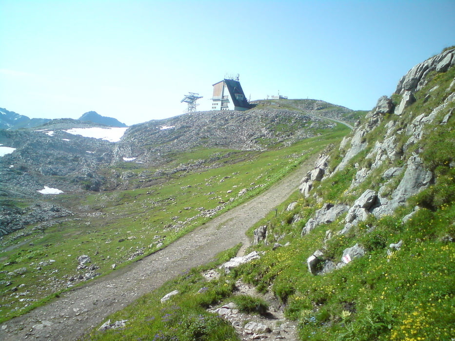
Von Lech über steile Pfade auf den Rüfikopf.

Bergab über Geröll, vorsicht rutschig.Bei Regen nicht zu empfehlen. Zu große Gefahr zu stürzen.

Ich bin die Tour im Uhrzeigersinn gelaufen. Andersherum ist auch möglich.

Карта маршрута и высотный профиль

  • Open Street Map
  • Google
Minimum height 1423 m Maximum height 2344 m Детальный вид

More about the tour author

Trailrunner1980
Member since 2011

Send private message

Комментарии

GPS-Tracks

Trackpoints
  • GPX / Garmin Map Source (gpx) download
  • TCX / Garmin Training Center® (tcx) download
  • CRS / Garmin Training Center® (crs) download
  • Google Earth (kml) download
  • G7ToWin (g7t) download
  • TTQV (trk) download
  • Overlay (ovl) download
  • Fugawi (txt) download
  • Kompass (DAV) Track (tk) download
  • Формуляр маршрута (pdf) download
  • Original file of the author (gpx) download

More about the tour author

Trailrunner1980
Member since 2011

Send private message
Share track
Add to my favorites
Remove from my favorites
Edit tags
My score
Rate
Маршрут: Rüfikopf Rundkurs
Вид: Горный маршрут
Длина: 14,5 km
Evaluated on:
Длительность:
Day(s)
Hour(s)
Minute(s)
Оценка: Ландшафт Веселье Кондиция Техника