Login

Забыл пароль?

Cookies have to be accepted!
Your browser's cookie functionality is disabled. Please enable this functionality.

Not a member yet?

Register now
Login

Available for registred users only

Log in to use this feature.

Забыл пароль?

Cookies have to be accepted!
Your browser's cookie functionality is disabled. Please enable this functionality.

Not a member yet?

Register now
Filter
Категории
Advanced filters
  • Длина (км)
  • Высотомер
Сохранить фильтр Reset filter

TrackRank

QRCode

Technical data

Длина30,9 km Высотомер878 m Way down802 m Длительность02:20 h:m Дата23.08.2012
Оценки Author Ландшафт Веселье Кондиция Техника

Статистика

853 Виды Оценки 80 Загрузки Среднее
Rate
  • Формуляр маршрута
  • Дорога
  • Загрузки

Start: Parkplatz Rewe in Sonthofen.

Stadtauswärts Richtung Hindelang auf dem Radweg.

Von Hindelang auf der alten Jochstrasse nach Oberjoch folgend bis zur abzweigung Ochsenalpe.

Dannach auf den Serpetinen  hoch bis zur Hütte.

Zurück auf dem gleichen Weg.
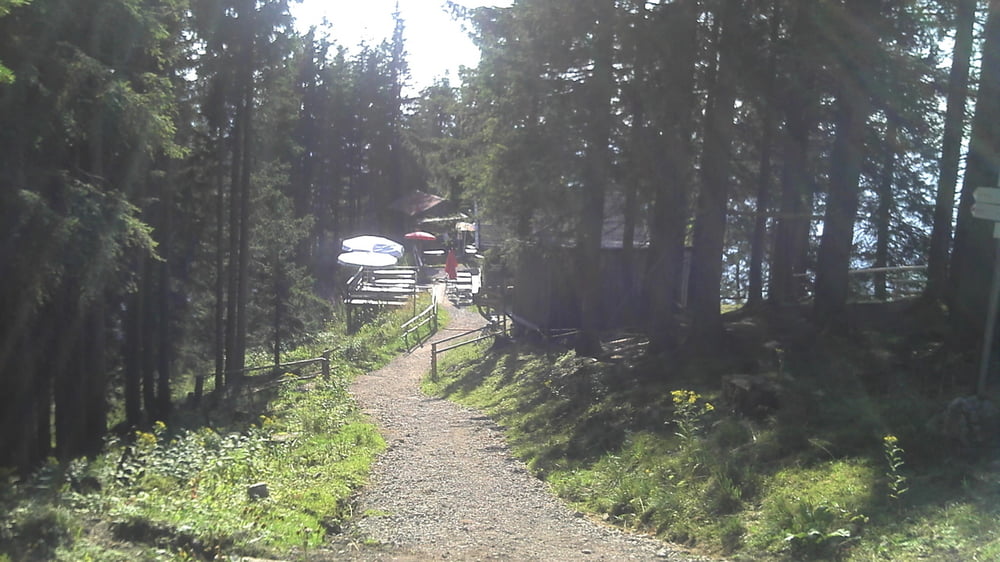
Галерея маршрутов

Карта маршрута и высотный профиль

  • Open Street Map
  • Google
Minimum height 679 m Maximum height 1538 m Детальный вид

More about the tour author

Winnipooh
Member since 2011

Send private message

Комментарии

GPS-Tracks

Trackpoints
  • GPX / Garmin Map Source (gpx) download
  • TCX / Garmin Training Center® (tcx) download
  • CRS / Garmin Training Center® (crs) download
  • Google Earth (kml) download
  • G7ToWin (g7t) download
  • TTQV (trk) download
  • Overlay (ovl) download
  • Fugawi (txt) download
  • Kompass (DAV) Track (tk) download
  • Формуляр маршрута (pdf) download
  • Original file of the author (gpx) download

More about the tour author

Winnipooh
Member since 2011

Send private message
Share track
Add to my favorites
Remove from my favorites
Edit tags
My score
Rate
Маршрут: Über die alte Jochstrasse zur Iselerplatzhütte
Вид: Горный велосипед
Длина: 30,9 km
Evaluated on:
Длительность:
Day(s)
Hour(s)
Minute(s)
Оценка: Ландшафт Веселье Кондиция Техника