
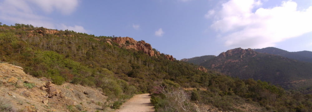

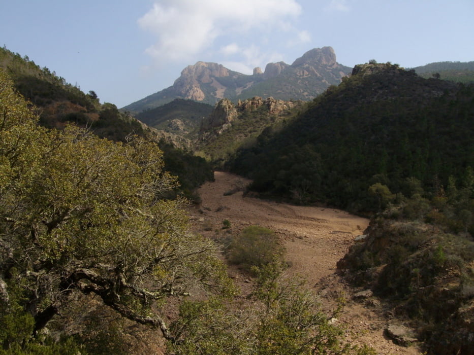
Park your car at the Cold de Belle Barbe and head for the Ravin du Mal Infernet where you can find two safe water fountains.
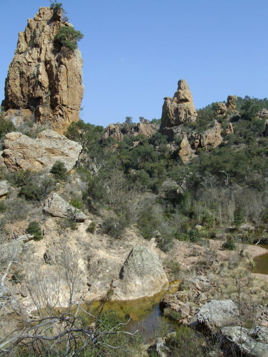
Do not expect to swim in the lake, the dam was broken after 100 years, instead just go for a dip in the warm water of the river leading to the lake. You may find some little fishs which are used to be fed by hikers. Grab your canyoning shoes as you can also go up to the ex lake via the river bed. Enjoy the mini canyon which may remind you of an american scenery.
Галерея маршрутов


Карта маршрута и высотный профиль
Minimum height 12 m
Maximum height 81 m
More about the tour author

|
ossobuco |
Комментарии

From the coast, drive to Agay and take the central roundabout North on rude du Gratadis. Don't overspeed sinc eyou will turn right some 600m later to take a smaller country road where there is a sign which says "massif de l'esterel"
(more to follow as I'm testing my first post)
(more to follow as I'm testing my first post)
GPS-Tracks
Trackpoints-
GPX / Garmin Map Source (gpx) download
-
TCX / Garmin Training Center® (tcx) download
-
CRS / Garmin Training Center® (crs) download
-
Google Earth (kml) download
-
G7ToWin (g7t) download
-
TTQV (trk) download
-
Overlay (ovl) download
-
Fugawi (txt) download
-
Kompass (DAV) Track (tk) download
-
Формуляр маршрута (pdf) download
-
Original file of the author (gpx) download
More about the tour author
|
|
ossobuco |
Add to my favorites
Remove from my favorites
Edit tags
Open track
My score
Rate