Login

Забыл пароль?

Cookies have to be accepted!
Your browser's cookie functionality is disabled. Please enable this functionality.

Not a member yet?

Register now
Login

Available for registred users only

Log in to use this feature.

Забыл пароль?

Cookies have to be accepted!
Your browser's cookie functionality is disabled. Please enable this functionality.

Not a member yet?

Register now
Filter
Категории
Advanced filters
  • Длина (км)
  • Высотомер
Сохранить фильтр Reset filter

TrackRank

QRCode

Technical data

Длина30,1 km Высотомер884 m Way down880 m Длительность02:30 h:m Дата01.09.2012
Оценки Author Ландшафт Веселье Кондиция Техника

Статистика

1819 Виды Оценки 59 Загрузки Среднее
Rate
  • Формуляр маршрута
  • Дорога
  • Загрузки

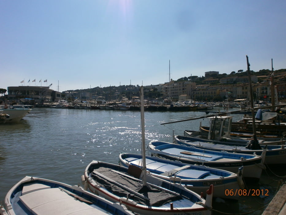
Diese klassische Tour für Autofahrer ist auch sehr schön mit dem Fahrrad zu machen.
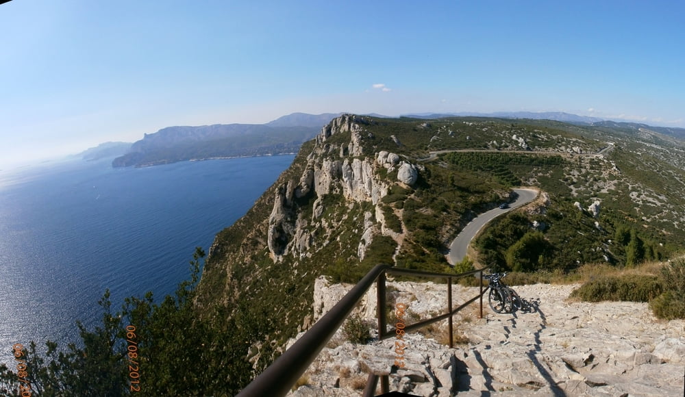
Er bietet ein spektäkuläre Ansicht auf die Küste, mit Felsen von über 394 Höhenmeter.

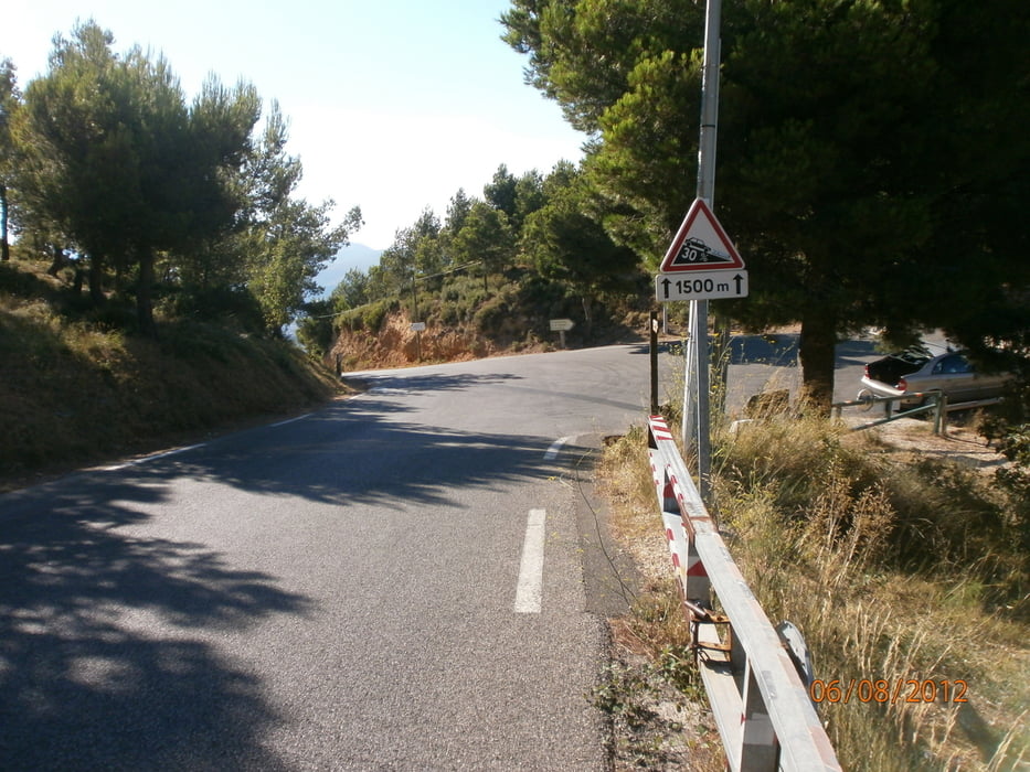
Der Rückfahrt von Cassis bis La Ciotat ist am Anfang schwieriger, wo eine Steigung  von 30% erreicht wird

Галерея маршрутов

Карта маршрута и высотный профиль

  • Open Street Map
  • Google
Minimum height -2 m Maximum height 367 m Детальный вид

More about the tour author

francbalt
Member since 2011

Send private message

Комментарии

GPS-Tracks

Trackpoints
  • GPX / Garmin Map Source (gpx) download
  • TCX / Garmin Training Center® (tcx) download
  • CRS / Garmin Training Center® (crs) download
  • Google Earth (kml) download
  • G7ToWin (g7t) download
  • TTQV (trk) download
  • Overlay (ovl) download
  • Fugawi (txt) download
  • Kompass (DAV) Track (tk) download
  • Формуляр маршрута (pdf) download
  • Original file of the author (gpx) download

More about the tour author

francbalt
Member since 2011

Send private message
Share track
Add to my favorites
Remove from my favorites
Edit tags
My score
Rate
Маршрут: Route des crêtes: von la Ciotat bis Cassis und zurück
Вид: Трековый велосипед
Длина: 30,1 km
Evaluated on:
Длительность:
Day(s)
Hour(s)
Minute(s)
Оценка: Ландшафт Веселье Кондиция Техника