Login

Забыл пароль?

Cookies have to be accepted!
Your browser's cookie functionality is disabled. Please enable this functionality.

Not a member yet?

Register now
Login

Available for registred users only

Log in to use this feature.

Забыл пароль?

Cookies have to be accepted!
Your browser's cookie functionality is disabled. Please enable this functionality.

Not a member yet?

Register now
Filter
Категории
Advanced filters
  • Длина (км)
  • Высотомер
Сохранить фильтр Reset filter

TrackRank

QRCode

Technical data

Длина87,5 km Высотомер1807 m Way down1373 m Длительность04:30 h:m Дата15.09.2012
Оценки Author Ландшафт Веселье Кондиция Техника

Статистика

297 Виды Оценки 21 Загрузки Среднее
Rate
  • Формуляр маршрута
  • Дорога
  • Загрузки

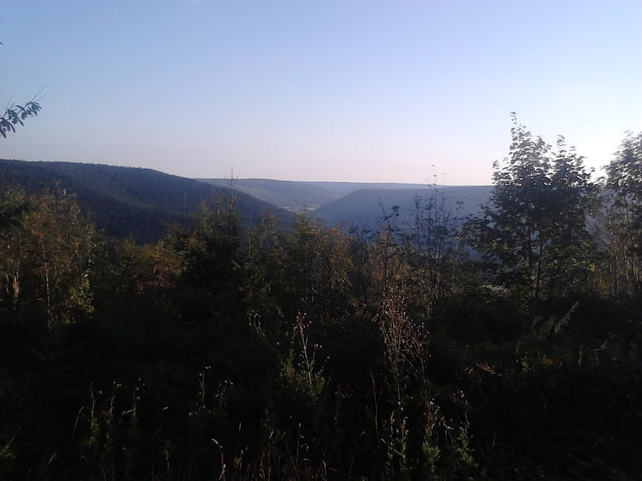
Fast nur befestigte Waldwege, aber sehr gut zum fahren.
(- In Schwarzenberg gibt es einen kleinen Umweg, wegen Bauarbeiten.
- Abfahrt nach Klosterreichenbach bitte nächste Abfahrt,siehe Karte.

Stand 14.09.2012 )


Галерея маршрутов

Карта маршрута и высотный профиль

  • Open Street Map
  • Google
Minimum height 102 m Maximum height 985 m Детальный вид

More about the tour author

vitaminc
Member since 2008

Send private message

Комментарии

Start und Ende am Parkplatz Lidl ( Oder Sportplatz ) in Baiersbronn .


GPS-Tracks

Trackpoints
  • GPX / Garmin Map Source (gpx) download
  • TCX / Garmin Training Center® (tcx) download
  • CRS / Garmin Training Center® (crs) download
  • Google Earth (kml) download
  • G7ToWin (g7t) download
  • TTQV (trk) download
  • Overlay (ovl) download
  • Fugawi (txt) download
  • Kompass (DAV) Track (tk) download
  • Формуляр маршрута (pdf) download
  • Original file of the author (gpx) download

More about the tour author

vitaminc
Member since 2008

Send private message
Share track
Add to my favorites
Remove from my favorites
Edit tags
My score
Rate
Маршрут: Baiersbronn zur Grünhütte Kaltenbronn
Вид: Горный велосипед
Длина: 87,5 km
Evaluated on:
Длительность:
Day(s)
Hour(s)
Minute(s)
Оценка: Ландшафт Веселье Кондиция Техника