Login

Забыл пароль?

Cookies have to be accepted!
Your browser's cookie functionality is disabled. Please enable this functionality.

Not a member yet?

Register now
Login

Available for registred users only

Log in to use this feature.

Забыл пароль?

Cookies have to be accepted!
Your browser's cookie functionality is disabled. Please enable this functionality.

Not a member yet?

Register now
Filter
Категории
Advanced filters
  • Длина (км)
  • Высотомер
Сохранить фильтр Reset filter

TrackRank

QRCode

Technical data

Длина8,8 km Высотомер124 m Way down124 m Длительность00:00 h:m Дата25.09.2012
Оценки Author Ландшафт Веселье Кондиция Техника

Статистика

363 Виды Оценки 58 Загрузки Среднее
Rate
  • Формуляр маршрута
  • Дорога
  • Загрузки

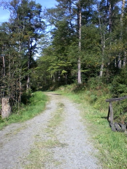
Zuerst geht es auf schmalen Pfaden entlang des Schleebaches, um dann im Bogen entlang der Moorroute und des Wanderweges A3 zum Ausgangspunkt zurückzukehren.


Галерея маршрутов

Карта маршрута и высотный профиль

  • Open Street Map
  • Google
Minimum height 428 m Maximum height 535 m Детальный вид

More about the tour author

Radegundis
Member since 2009

Send private message

Комментарии

Auf der B258 von Aachen nach Roetgen. Kurz vor dem Ortsausgang nach links führt die Grünepleistraße zu einem Parkplatz am Schleebach.


GPS-Tracks

Trackpoints
  • GPX / Garmin Map Source (gpx) download
  • TCX / Garmin Training Center® (tcx) download
  • CRS / Garmin Training Center® (crs) download
  • Google Earth (kml) download
  • G7ToWin (g7t) download
  • TTQV (trk) download
  • Overlay (ovl) download
  • Fugawi (txt) download
  • Kompass (DAV) Track (tk) download
  • Формуляр маршрута (pdf) download
  • Original file of the author (gpx) download

More about the tour author

Radegundis
Member since 2009

Send private message
Share track
Add to my favorites
Remove from my favorites
Edit tags
My score
Rate
Маршрут: Entlang des Schleebachs
Вид: Пешеходный туризм
Длина: 8,8 km
Evaluated on:
Длительность:
Day(s)
Hour(s)
Minute(s)
Оценка: Ландшафт Веселье Кондиция Техника