


Mezzano-Passo Gobbera-Rif. Totoga-Ponte Serra-Piei-
Lago di Senaiga-Col Martello-Cima Campo-Col Perer-
Arsie (Lago di Corlo)
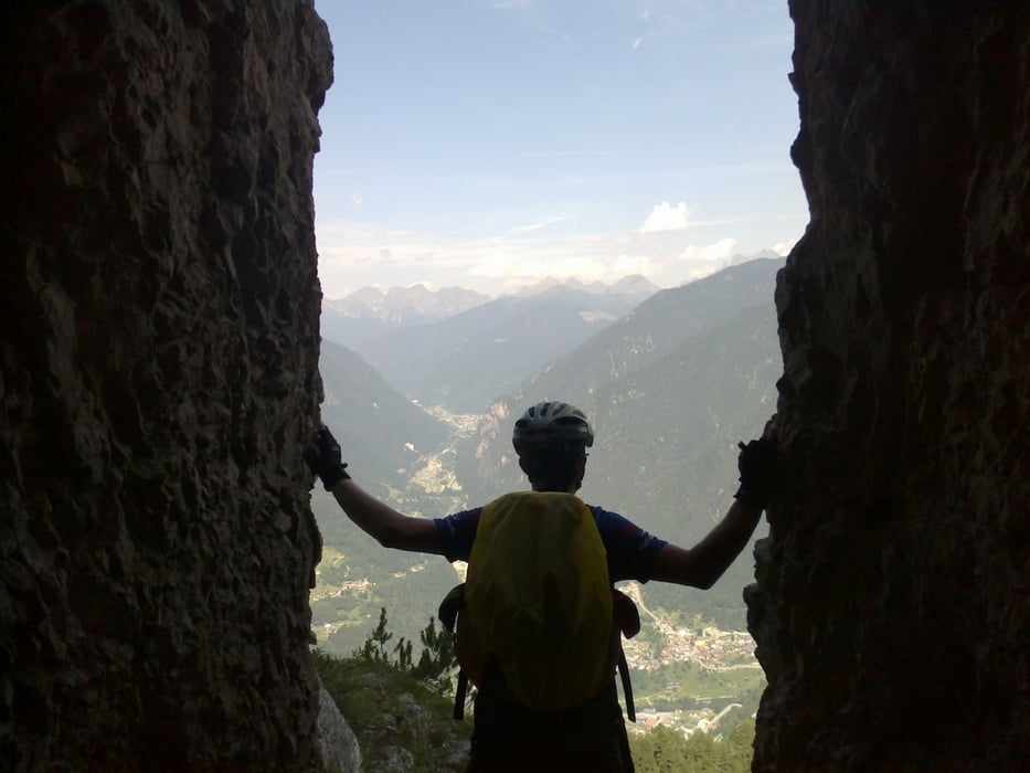
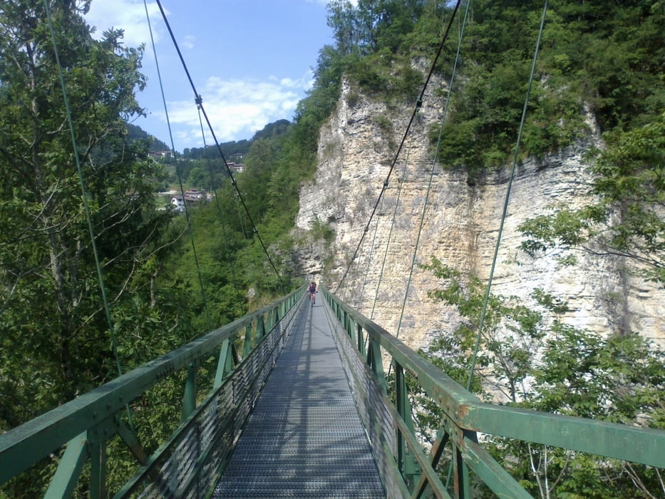
Heiße tracks mit teilweise harten Schiebestücken und herrlichen Ausblicken!
Die Bunker in Totoga haben uns in ihren Bann gezogen. Den 2. Berg, Cima Campo, hatte ich nicht als
track gespeichert und prompt sind wir ordentlich herumgeirrt. Im Nachhinein muss man sagen, dass unsere Auffahrt sicher die interessantere Variante
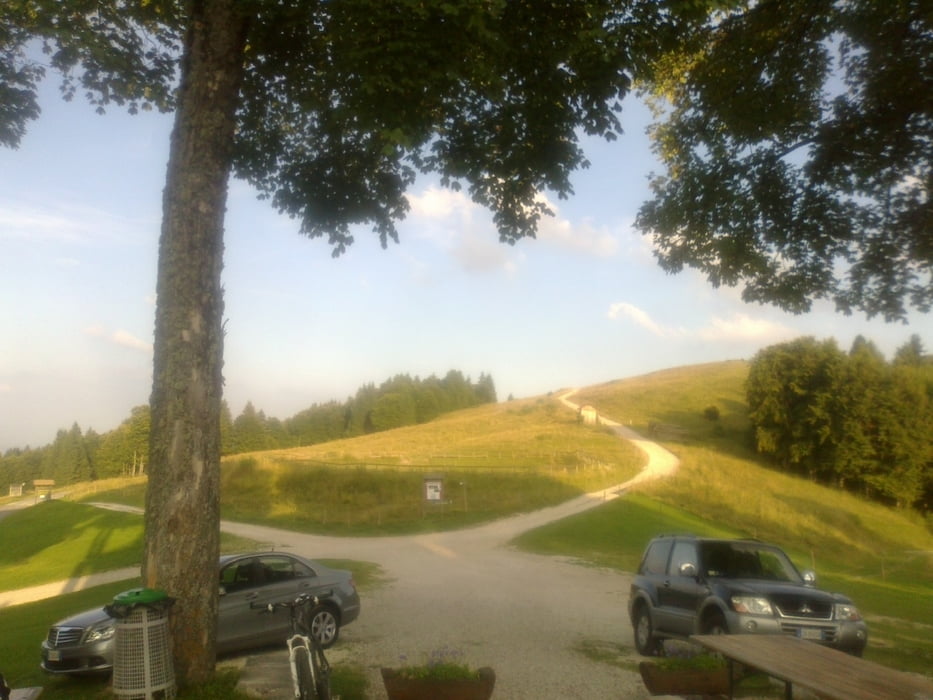
als die offizielle VM war! Und dann eine grandiose, schnelle Abfahrt über die Straße.
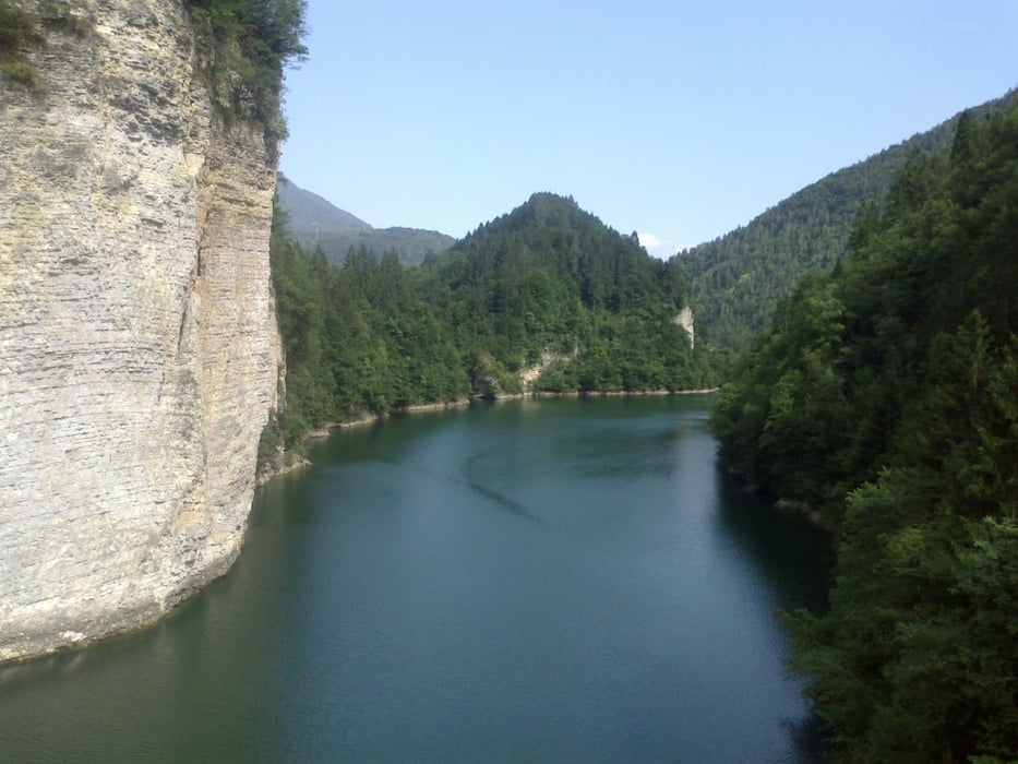
Lässiges Privatquartier (Appartement um 25 € a testa) in Arsie, Nähe lago Corlo. Im Tal drückende Hitze.
Галерея маршрутов
Карта маршрута и высотный профиль
Minimum height 291 m
Maximum height 1581 m
More about the tour author
|
|
mitter |
Комментарии

Start in Mezzano bei Fiera.
GPS-Tracks
Trackpoints-
GPX / Garmin Map Source (gpx) download
-
TCX / Garmin Training Center® (tcx) download
-
CRS / Garmin Training Center® (crs) download
-
Google Earth (kml) download
-
G7ToWin (g7t) download
-
TTQV (trk) download
-
Overlay (ovl) download
-
Fugawi (txt) download
-
Kompass (DAV) Track (tk) download
-
Формуляр маршрута (pdf) download
-
Original file of the author (gpx) download
More about the tour author
|
|
mitter |
Add to my favorites
Remove from my favorites
Edit tags
Open track
My score
Rate