Login

Забыл пароль?

Cookies have to be accepted!
Your browser's cookie functionality is disabled. Please enable this functionality.

Not a member yet?

Register now
Login

Available for registred users only

Log in to use this feature.

Забыл пароль?

Cookies have to be accepted!
Your browser's cookie functionality is disabled. Please enable this functionality.

Not a member yet?

Register now
Filter
Категории
Advanced filters
  • Длина (км)
  • Высотомер
Сохранить фильтр Reset filter

TrackRank

QRCode

Technical data

Длина12,0 km Высотомер629 m Way down619 m Длительность03:30 h:m Дата08.10.2012
Оценки Author Ландшафт Веселье Кондиция Техника

Статистика

1244 Виды Оценки 49 Загрузки Среднее
Rate
  • Формуляр маршрута
  • Дорога
  • Загрузки

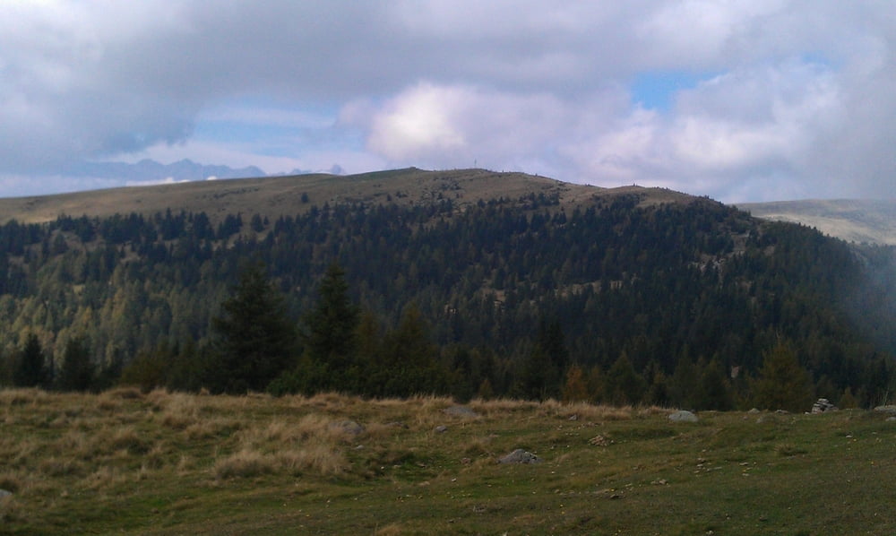
Angenehme Tour ohne besondere Schwierigkeiten. Start vom Parkplatz Kampidell. Weiter zum Möltner Kaser, dann den E 5 zu den Stoanernen Mandln. Weiter in Richtung Jenesier Jöchl ( Einkehr ). Danach zurück zum Parkplatz


Карта маршрута и высотный профиль

  • Open Street Map
  • Google
Minimum height 1539 m Maximum height 2005 m Детальный вид

More about the tour author

mareb1972
Member since 2009

Send private message

Комментарии

Jenesien, Kampidell, Parkplatz ist leicht zu finden

GPS-Tracks

Trackpoints
  • GPX / Garmin Map Source (gpx) download
  • TCX / Garmin Training Center® (tcx) download
  • CRS / Garmin Training Center® (crs) download
  • Google Earth (kml) download
  • G7ToWin (g7t) download
  • TTQV (trk) download
  • Overlay (ovl) download
  • Fugawi (txt) download
  • Kompass (DAV) Track (tk) download
  • Формуляр маршрута (pdf) download
  • Original file of the author (gpx) download

More about the tour author

mareb1972
Member since 2009

Send private message
Share track
Add to my favorites
Remove from my favorites
Edit tags
My score
Rate
Маршрут: Möltner Kaser - Stoanerne Mandln - Jenesier Jöchl Rundtour
Вид: Пешеходный туризм
Длина: 12,0 km
Evaluated on:
Длительность:
Day(s)
Hour(s)
Minute(s)
Оценка: Ландшафт Веселье Кондиция Техника