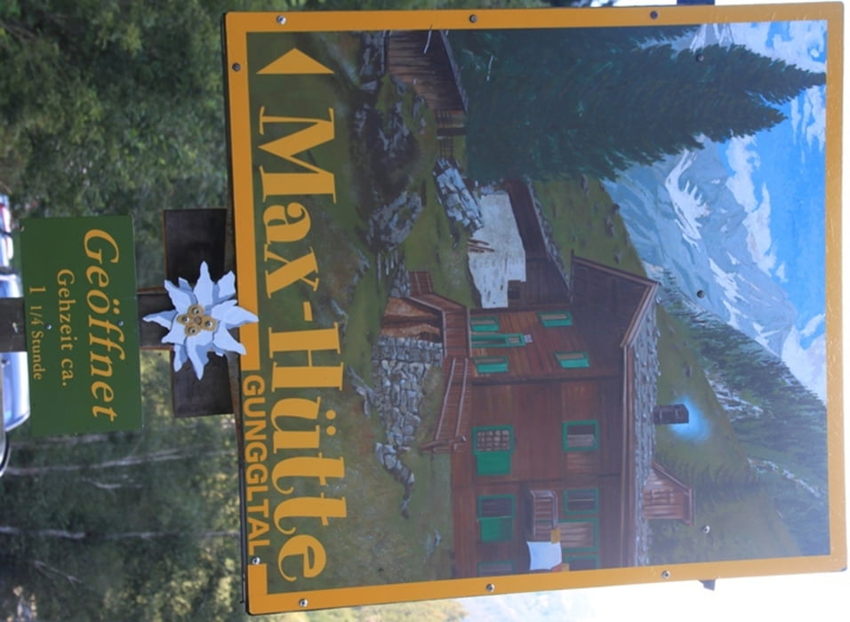
Pittige wandeling naar de Maxhütte in het Gunggltal bij Ginzling. Een wandeling met behoorlijk wat hoogtemeters maar aangekomen bij de beek in het Gunggltal vergeet je al snel je inspanning.
Further information at
http://www.peterenemmy.nl/Oostenrijk/zomer/2012%20aug%20zomervakantie/Maxhuette.htmlГалерея маршрутов
Карта маршрута и высотный профиль
Minimum height 926 m
Maximum height 1441 m
Комментарии

GPS-Tracks
Trackpoints-
GPX / Garmin Map Source (gpx) download
-
TCX / Garmin Training Center® (tcx) download
-
CRS / Garmin Training Center® (crs) download
-
Google Earth (kml) download
-
G7ToWin (g7t) download
-
TTQV (trk) download
-
Overlay (ovl) download
-
Fugawi (txt) download
-
Kompass (DAV) Track (tk) download
-
Формуляр маршрута (pdf) download
-
Original file of the author (gpx) download
Add to my favorites
Remove from my favorites
Edit tags
Open track
My score
Rate


