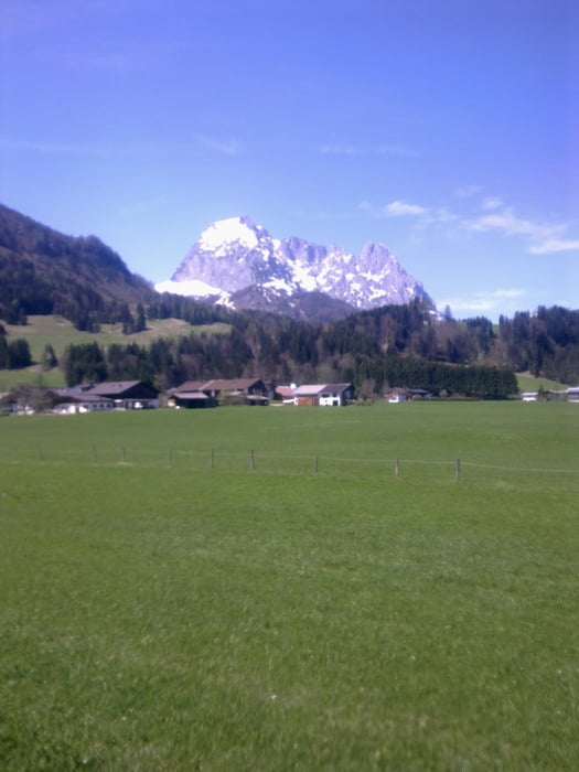
Die Tour beginnt in Sachrang/Grenzhub im Naturdorf Sachrang am Chalet-Oberbayern.
Es wurden nach Möglichkeit Nebenweg u. -strassen benutzt. Die Beläge sind Asphalt oder Kies.
Die Strecke führt von Deutschland direkt über die Grenze nach Tirol, weiter nach Rettenschöss, Walchsee, Schwendt, Kirchdorf, Erpfendorf, durchs Grossache Tal, Kössen und über Walchsee zurück.
Further information at
http://www.chalet-oberbayern.deКарта маршрута и высотный профиль
Minimum height 597 m
Maximum height 764 m
Комментарии

GPS-Tracks
Trackpoints-
GPX / Garmin Map Source (gpx) download
-
TCX / Garmin Training Center® (tcx) download
-
CRS / Garmin Training Center® (crs) download
-
Google Earth (kml) download
-
G7ToWin (g7t) download
-
TTQV (trk) download
-
Overlay (ovl) download
-
Fugawi (txt) download
-
Kompass (DAV) Track (tk) download
-
Формуляр маршрута (pdf) download
-
Original file of the author (gpx) download
Add to my favorites
Remove from my favorites
Edit tags
Open track
My score
Rate


