Login

Забыл пароль?

Cookies have to be accepted!
Your browser's cookie functionality is disabled. Please enable this functionality.

Not a member yet?

Register now
Login

Available for registred users only

Log in to use this feature.

Забыл пароль?

Cookies have to be accepted!
Your browser's cookie functionality is disabled. Please enable this functionality.

Not a member yet?

Register now
Filter
Категории
Advanced filters
  • Длина (км)
  • Высотомер
Сохранить фильтр Reset filter

TrackRank

QRCode

Technical data

Длина13,3 km Высотомер257 m Way down254 m Длительность03:15 h:m Дата01.11.2012
Оценки Author Ландшафт Веселье Кондиция Техника

Статистика

337 Виды 1 Оценка 67 Загрузки 4.00 Среднее
Rate
  • Формуляр маршрута
  • Дорога
  • Загрузки

Die Strecke ist die Tour 1 des Wanderführers "Bergisches Land" aus dem Rother Verlag.

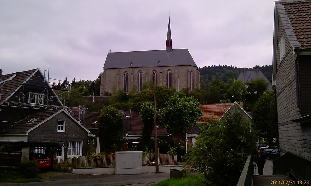
Ein sehr idyllischer Weg, der relativ vielseitig ist und eine wunderschöne Kulisse der Beyenburg am Wupper-Stausee bietet.


Галерея маршрутов

Карта маршрута и высотный профиль

  • Open Street Map
  • Google
Minimum height 187 m Maximum height 312 m Детальный вид

More about the tour author

TobyDean
Member since 2011

Send private message

Комментарии

Parkplatz am Theodor-Schröder-Weg in Kemna.

GPS-Tracks

Trackpoints
  • GPX / Garmin Map Source (gpx) download
  • TCX / Garmin Training Center® (tcx) download
  • CRS / Garmin Training Center® (crs) download
  • Google Earth (kml) download
  • G7ToWin (g7t) download
  • TTQV (trk) download
  • Overlay (ovl) download
  • Fugawi (txt) download
  • Kompass (DAV) Track (tk) download
  • Формуляр маршрута (pdf) download
  • Original file of the author (gpx) download

More about the tour author

TobyDean
Member since 2011

Send private message
Share track
Add to my favorites
Remove from my favorites
Edit tags
My score
Rate
Маршрут: Zur Hebringhauser Talsperre und nach Beyenburg
Вид: Пешеходный туризм
Длина: 13,3 km
Evaluated on:
Длительность:
Day(s)
Hour(s)
Minute(s)
Оценка: Ландшафт Веселье Кондиция Техника