


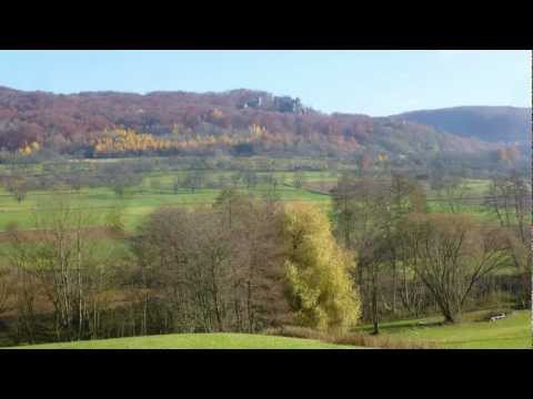
Vom Parkplatz zur Straße, gerade hinweg, nach Feuerwehrhaus links ab mit Gelbstrich gemütlich dahin im Ehrenbachtal, links das "Walberla", rechts der "Hetzelsdorfer Wald" . Am Querweg (Wasserwerk) links ab zur Straße, auf dieser kurz links, dann rechts aufwärts zu Flurweg. Auf diesem nach links zum Parkplatz zurück.
Галерея маршрутов


Карта маршрута и высотный профиль
Minimum height 296 m
Maximum height 369 m
More about the tour author
|
|
heinz-57 |
Комментарии

Von Forchheim/ Reuth kommend nach Wiesenthau, Schlaifhausen und über Dietzhof nach Leutenbach. An Kirche rechts zu Wanderparkplatz.
GPS-Tracks
Trackpoints-
GPX / Garmin Map Source (gpx) download
-
TCX / Garmin Training Center® (tcx) download
-
CRS / Garmin Training Center® (crs) download
-
Google Earth (kml) download
-
G7ToWin (g7t) download
-
TTQV (trk) download
-
Overlay (ovl) download
-
Fugawi (txt) download
-
Kompass (DAV) Track (tk) download
-
Формуляр маршрута (pdf) download
-
Original file of the author (gpx) download
More about the tour author
|
|
heinz-57 |
Add to my favorites
Remove from my favorites
Edit tags
Open track
My score
Rate