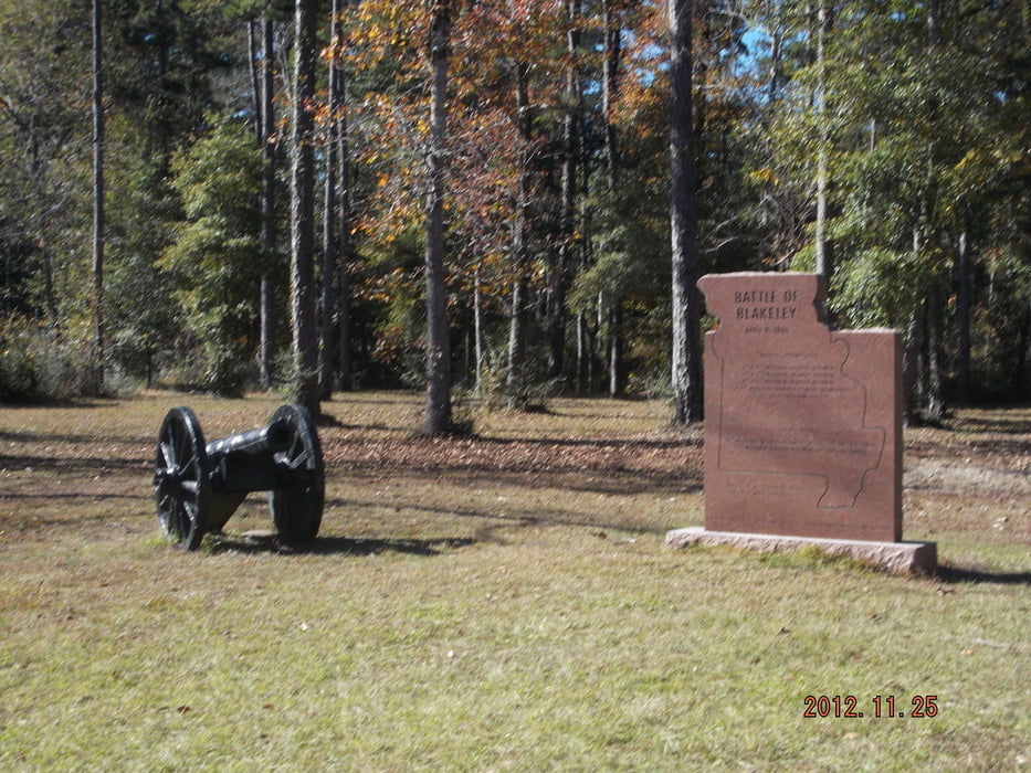
Nice and easy hiking tour near the historical battle field on the various hiking trails through the forrest of the park.
Use the broadwalks with precaution, some of them are in bad condition.
Галерея маршрутов
Карта маршрута и высотный профиль
Minimum height -4 m
Maximum height 55 m
Комментарии

From Mobile on I-10 or US-90 until Spanish Fort, drive US-225 north for about 4,5 miles to the park entrance on the left
GPS-Tracks
Trackpoints-
GPX / Garmin Map Source (gpx) download
-
TCX / Garmin Training Center® (tcx) download
-
CRS / Garmin Training Center® (crs) download
-
Google Earth (kml) download
-
G7ToWin (g7t) download
-
TTQV (trk) download
-
Overlay (ovl) download
-
Fugawi (txt) download
-
Kompass (DAV) Track (tk) download
-
Формуляр маршрута (pdf) download
-
Original file of the author (gpx) download
Add to my favorites
Remove from my favorites
Edit tags
Open track
My score
Rate


