Login

Забыл пароль?

Cookies have to be accepted!
Your browser's cookie functionality is disabled. Please enable this functionality.

Not a member yet?

Register now
Login

Available for registred users only

Log in to use this feature.

Забыл пароль?

Cookies have to be accepted!
Your browser's cookie functionality is disabled. Please enable this functionality.

Not a member yet?

Register now
Filter
Категории
Advanced filters
  • Длина (км)
  • Высотомер
Сохранить фильтр Reset filter

TrackRank

QRCode

Technical data

Длина57,5 km Высотомер959 m Way down962 m Длительность00:00 h:m Дата04.12.2012
Оценки Author Ландшафт Веселье Кондиция Техника

Статистика

338 Виды Оценки 61 Загрузки Среднее
Rate
  • Формуляр маршрута
  • Дорога
  • Загрузки

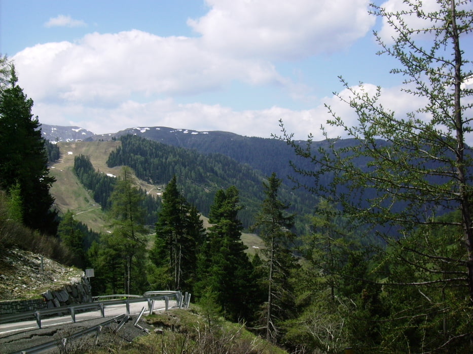
Bis zur Grenze Steiermark/Kärnten. Nach der Dr. J. Mehrl Hütte war die Straße in einem schlechten Zustand (ich würde abraten die Tour mit Rennrad zu befahren).


Галерея маршрутов

Карта маршрута и высотный профиль

  • Open Street Map
  • Google
Minimum height 972 m Maximum height 1759 m Детальный вид

More about the tour author

Hafi
Member since 2009

Send private message

Комментарии

GPS-Tracks

Trackpoints
  • GPX / Garmin Map Source (gpx) download
  • TCX / Garmin Training Center® (tcx) download
  • CRS / Garmin Training Center® (crs) download
  • Google Earth (kml) download
  • G7ToWin (g7t) download
  • TTQV (trk) download
  • Overlay (ovl) download
  • Fugawi (txt) download
  • Kompass (DAV) Track (tk) download
  • Формуляр маршрута (pdf) download
  • Original file of the author (gpx) download

More about the tour author

Hafi
Member since 2009

Send private message
Share track
Add to my favorites
Remove from my favorites
Edit tags
My score
Rate
Маршрут: Bundschuh
Вид: Горный велосипед
Длина: 57,5 km
Evaluated on:
Длительность:
Day(s)
Hour(s)
Minute(s)
Оценка: Ландшафт Веселье Кондиция Техника