
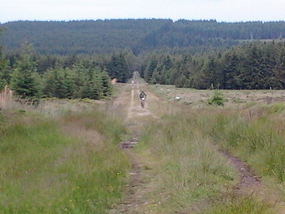

Mooie tocht die vanuit Theux naar Signal du Botragne gaat.
Dit is het hoogste punt van Belgie.
Op Botragne zit een leuk restaurant, met heerlijke spagetti.
De weg terug van Botragne naar Theux is verreden met regen, dan wordt het parcour zeer zwaar op de veengrond, het scheelt wel dat het bijna continu dalen is op de terugweg.
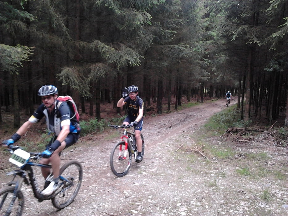
Kortom het is een technisch uitdagende tocht met mooie klimmen en afdalingen.
Галерея маршрутов
Карта маршрута и высотный профиль
Minimum height 158 m
Maximum height 702 m
More about the tour author
|
|
Bartelomeus |
Комментарии

GPS-Tracks
Trackpoints-
GPX / Garmin Map Source (gpx) download
-
TCX / Garmin Training Center® (tcx) download
-
CRS / Garmin Training Center® (crs) download
-
Google Earth (kml) download
-
G7ToWin (g7t) download
-
TTQV (trk) download
-
Overlay (ovl) download
-
Fugawi (txt) download
-
Kompass (DAV) Track (tk) download
-
Формуляр маршрута (pdf) download
-
Original file of the author (tcx) download
More about the tour author
|
|
Bartelomeus |
Add to my favorites
Remove from my favorites
Edit tags
Open track
My score
Rate