Login

Забыл пароль?

Cookies have to be accepted!
Your browser's cookie functionality is disabled. Please enable this functionality.

Not a member yet?

Register now
Login

Available for registred users only

Log in to use this feature.

Забыл пароль?

Cookies have to be accepted!
Your browser's cookie functionality is disabled. Please enable this functionality.

Not a member yet?

Register now
Filter
Категории
Advanced filters
  • Длина (км)
  • Высотомер
Сохранить фильтр Reset filter

TrackRank

QRCode

Technical data

Длина19,0 km Высотомер365 m Way down296 m Длительность01:20 h:m Дата13.01.2013
Оценки Author Ландшафт Веселье Кондиция Техника

Статистика

435 Виды Оценки 17 Загрузки Среднее
Rate
  • Формуляр маршрута
  • Дорога
  • Загрузки

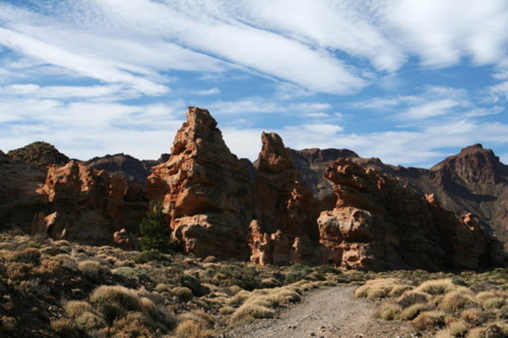
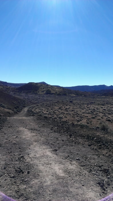
aan de voet van de Tide een trail van circa 17 km


Further information at

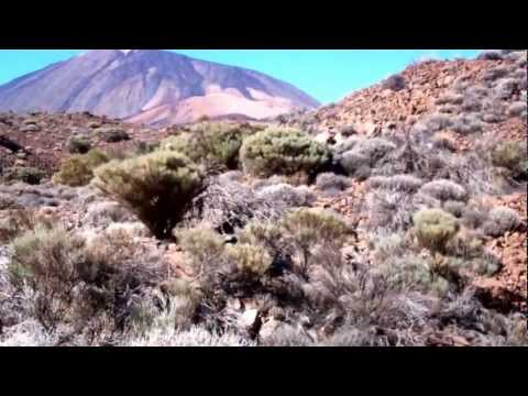
http://www.youtube.com/watch?feature=player_detailpage&v=vR-Fvx2dZK0

Галерея маршрутов

Карта маршрута и высотный профиль

  • Open Street Map
  • Google
Minimum height 2042 m Maximum height 2227 m Детальный вид

More about the tour author

klaaselzinga
Member since 2011

Send private message

Комментарии

Starten vanaf de doorgaande autoweg. Lopen van Noord naar Zuid. Het mooiste en zwaarste deel van de route zit dan in het laatste gedeelte.


GPS-Tracks

Trackpoints
  • GPX / Garmin Map Source (gpx) download
  • TCX / Garmin Training Center® (tcx) download
  • CRS / Garmin Training Center® (crs) download
  • Google Earth (kml) download
  • G7ToWin (g7t) download
  • TTQV (trk) download
  • Overlay (ovl) download
  • Fugawi (txt) download
  • Kompass (DAV) Track (tk) download
  • Формуляр маршрута (pdf) download
  • Original file of the author (gpx) download

More about the tour author

klaaselzinga
Member since 2011

Send private message
Share track
Add to my favorites
Remove from my favorites
Edit tags
My score
Rate
Маршрут: Onverhard aan de rand van de Tide op Tenerife
Вид: Бег
Длина: 19,0 km
Evaluated on:
Длительность:
Day(s)
Hour(s)
Minute(s)
Оценка: Ландшафт Веселье Кондиция Техника