Login

Забыл пароль?

Cookies have to be accepted!
Your browser's cookie functionality is disabled. Please enable this functionality.

Not a member yet?

Register now
Login

Available for registred users only

Log in to use this feature.

Забыл пароль?

Cookies have to be accepted!
Your browser's cookie functionality is disabled. Please enable this functionality.

Not a member yet?

Register now
Filter
Категории
Advanced filters
  • Длина (км)
  • Высотомер
Сохранить фильтр Reset filter

TrackRank

QRCode

Technical data

Длина14,2 km Высотомер560 m Way down526 m Длительность04:30 h:m Дата15.01.2013
Оценки Author Ландшафт Веселье Кондиция Техника

Статистика

1277 Виды 1 Оценка 109 Загрузки 5.00 Среднее
Rate
  • Формуляр маршрута
  • Дорога
  • Загрузки
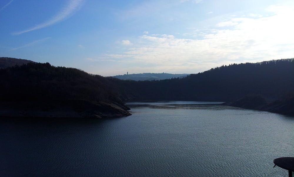
Aussichtsreiche Rundwanderung über den Kermeter zwischen Rursee und Obersee.im Nationalpark Rursee in NRW.

Галерея маршрутов

Карта маршрута и высотный профиль

  • Open Street Map
  • Google
Minimum height 250 m Maximum height 513 m Детальный вид

More about the tour author

drfwalter
Member since 2012

Send private message

Комментарии

Über die A44 Ausfahrt Monschau nach Ruhrberg, hier kostenpflichtige Parkplätze.
 

GPS-Tracks

Trackpoints
  • GPX / Garmin Map Source (gpx) download
  • TCX / Garmin Training Center® (tcx) download
  • CRS / Garmin Training Center® (crs) download
  • Google Earth (kml) download
  • G7ToWin (g7t) download
  • TTQV (trk) download
  • Overlay (ovl) download
  • Fugawi (txt) download
  • Kompass (DAV) Track (tk) download
  • Формуляр маршрута (pdf) download
  • Original file of the author (gpx) download

More about the tour author

drfwalter
Member since 2012

Send private message
Share track
Add to my favorites
Remove from my favorites
Edit tags
My score
Rate
Маршрут: Rursee Kermeter Nationalpark NRW Rundwanderung
Вид: Пешеходный туризм
Длина: 14,2 km
Evaluated on:
Длительность:
Day(s)
Hour(s)
Minute(s)
Оценка: Ландшафт Веселье Кондиция Техника