Login

Забыл пароль?

Cookies have to be accepted!
Your browser's cookie functionality is disabled. Please enable this functionality.

Not a member yet?

Register now
Login

Available for registred users only

Log in to use this feature.

Забыл пароль?

Cookies have to be accepted!
Your browser's cookie functionality is disabled. Please enable this functionality.

Not a member yet?

Register now
Filter
Категории
Advanced filters
  • Длина (км)
  • Высотомер
Сохранить фильтр Reset filter

TrackRank

QRCode

Technical data

Длина44,9 km Высотомер1685 m Way down1686 m Длительность04:52 h:m Дата30.01.2013
Оценки Author Ландшафт Веселье Кондиция Техника

Статистика

324 Виды Оценки 54 Загрузки Среднее
Rate
  • Формуляр маршрута
  • Дорога
  • Загрузки

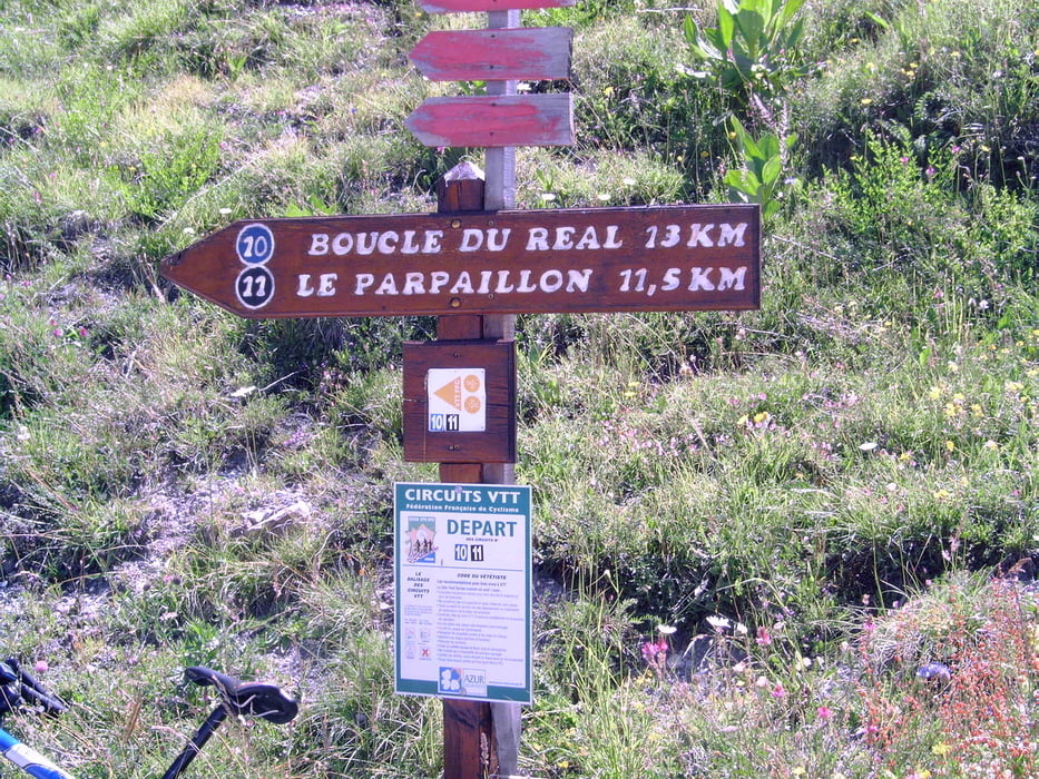
Tocht gedaan juni 2007;  perfecte maar warme dag.  Gestart vanuit Saint Andre d-Embrun.  Van daaruit richting Crevoux.  Daar even pauze gehouden en dan naar boven.

Prachtige maar zware rit,  niemand tegengekomen behalve een enkele motor.

Zeker voor herhaling vatbaar.

Галерея маршрутов

Карта маршрута и высотный профиль

  • Open Street Map
  • Google
Minimum height 965 m Maximum height 2643 m Детальный вид

More about the tour author

JaB
Member since 2009

Send private message

Комментарии

GPS-Tracks

Trackpoints
  • GPX / Garmin Map Source (gpx) download
  • TCX / Garmin Training Center® (tcx) download
  • CRS / Garmin Training Center® (crs) download
  • Google Earth (kml) download
  • G7ToWin (g7t) download
  • TTQV (trk) download
  • Overlay (ovl) download
  • Fugawi (txt) download
  • Kompass (DAV) Track (tk) download
  • Формуляр маршрута (pdf) download
  • Original file of the author (gpx) download

More about the tour author

JaB
Member since 2009

Send private message
Share track
Add to my favorites
Remove from my favorites
Edit tags
My score
Rate
Маршрут: Parpaillon v.v.
Вид: Горный велосипед
Длина: 44,9 km
Evaluated on:
Длительность:
Day(s)
Hour(s)
Minute(s)
Оценка: Ландшафт Веселье Кондиция Техника