


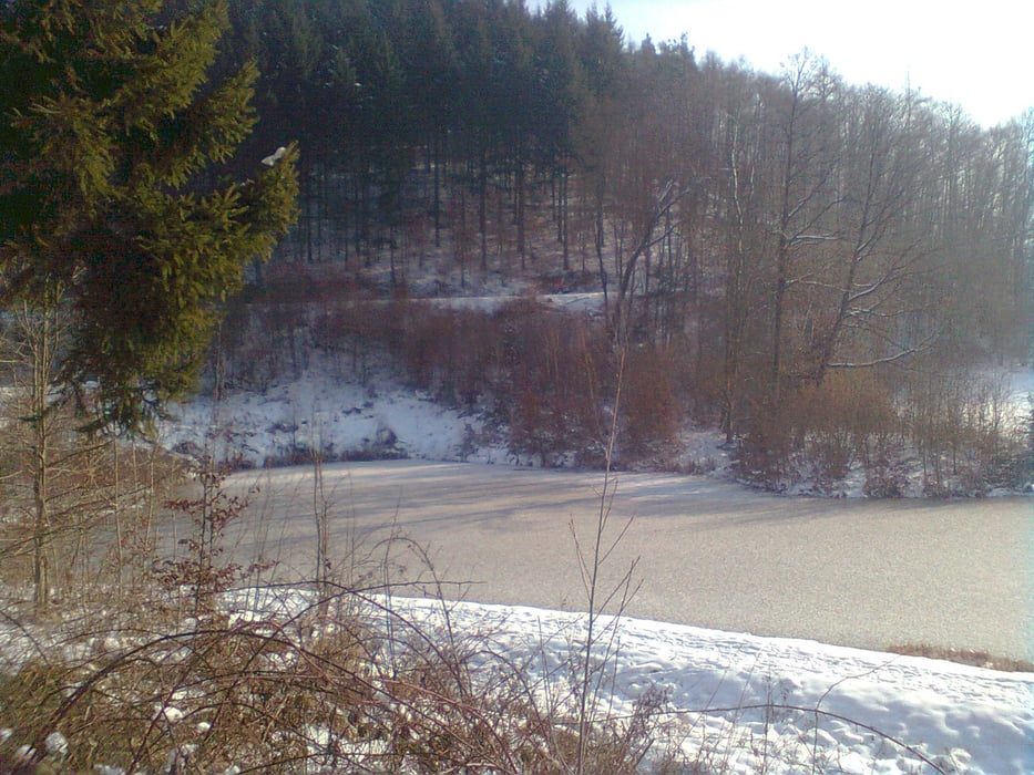
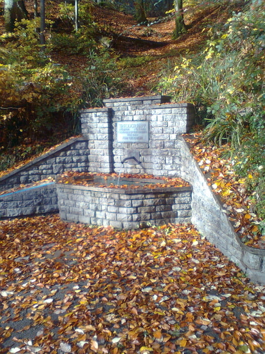
Die Tour führt über Feld, Weinberg und Waldwege zum Breitenauer See, vorbei am Heppsee, Bucheiche, Stocksberg Löwenstein. Es sind Tragepassagen durch den Wald wo Wege enden zu absolvieren (AÜ-Training). Einkehrmöglichkeiten gibts in den Sommermonaten am Kiosk Breitenauer See. Es ist empfehlenswert ein Lunchpaket mit auf die Tour zu nehmen. Singletrails sind keine eingebaut, da ich die Tour bei Schnee gefahren bin.
Галерея маршрутов
Карта маршрута и высотный профиль
Minimum height 203 m
Maximum height 529 m
More about the tour author
|
|
RolandChristner |
Комментарии

Die Tour startet in Großaspach (bei Backnang) in der Hauptstrasse
GPS-Tracks
Trackpoints-
GPX / Garmin Map Source (gpx) download
-
TCX / Garmin Training Center® (tcx) download
-
CRS / Garmin Training Center® (crs) download
-
Google Earth (kml) download
-
G7ToWin (g7t) download
-
TTQV (trk) download
-
Overlay (ovl) download
-
Fugawi (txt) download
-
Kompass (DAV) Track (tk) download
-
Формуляр маршрута (pdf) download
-
Original file of the author (gpx) download
More about the tour author
|
|
RolandChristner |
Add to my favorites
Remove from my favorites
Edit tags
Open track
My score
Rate